The Low Beskid
On the red trail to Chryszczata
XML, 645.23kB
About this route
A very difficult route. Although it is not long, the steep ascents, the high altitude and the dirt surface demand a strenuous effort from everyone. You have to watch out not only for the unevenness but also for stones, roots and fallen logs, which make moving even more difficult. Although the route is a challenge for the body, its natural, scenic and historical qualities make it one of the most interesting in the region. Please remember to act appropriately in the landscape park and reserve, as well as at the cemeteries and soldiers' graves, which are numerous in the area.
Practical advices
When preparing for a route, be sure to check the weather forecast. This will allow you to take appropriate clothing and limit your luggage as much as possible. However, it is well known that the weather can be unpredictable, so be prepared if it gets worse. It is good practice to pack a thin rain jacket that does not take up much space.
Before starting the route, carefully analyse it on a map. Consider whether your skills and equipment are adequate for the level of difficulty of the route.
Download the accompanying .gpx file so that you always have your navigation at hand. To make sure your device doesn't fail you, also bring a power bank, charger or spare batteries. If the weather changes, you may find it useful to have a waterproof case for your electronic equipment.
Be sure to take drinks and food with you on long journeys; you never know when you will get hungry. Remember that a shop or restaurant may be located a long way away. We recommend that you stock up on water, isotonic drinks, energy bars and snacks. This will make sure you don't lose the motivation to continue riding.
The absolute basis for safety is, of course, a helmet. Also, prepare yourself technically. Make sure you have adequate lighting on your bike. Pack a repair kit. Spare inner tubes, a pump, a multitool, all of these things can come in handy in the event of a breakdown, which of course you don't want!

Beskid Niski
Audiodeskrypcja tekstowa
Route details
Mików – Chryszczata – Duszatyn – MikówStart
- 1Mików0 kmMików
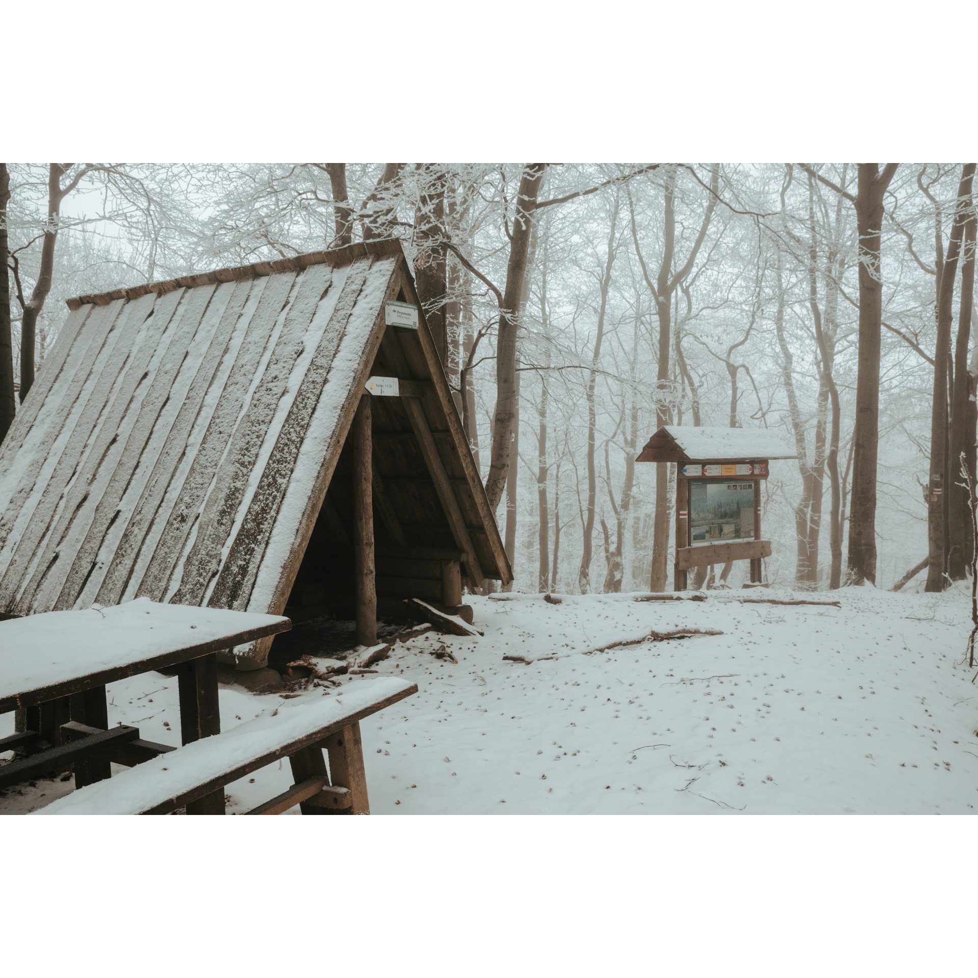
The route starts in Mików, near the Smolnik Aeroclub airfield. Head east and then ride straight ahead. On a winding road climbing up the hills, among the forest, passing lumbermen's bases, you will reach Żebrak Pass. Beside the road runs the Mikowy stream, one of the many watercourses here, which is a watering hole for wildlife. Before the tourist shed, turn left onto the red trail. A sharp uphill stretch along a narrow road awaits you. While riding to the top of Chryszczata, you might think of the soldiers who are buried here in small cemeteries and scattered graves, sometimes even unmarked. They were forced to fight in extremely difficult conditions. A kilometre off the trail is one such grave, an unnamed, mass grave in whose darkness former enemies have found agreement. As you proceed steadily higher up the trodden but tough trail, watch out for stones and branches. You will probably have to dismount frequently.
- 2Chryszczata11.4 kmChryszczata
You will recognise the summit of Chryszczata by a tourist shelter and a cross. There is not much space on the summit. Just beyond the peak, there is a cemetery from 1914 to 1915. The number of people buried here is unknown. After 2 km, you will reach the Zwięzło Nature Reserve, which includes an area of 2 landslide lakes. It is a beautiful, wild place well worth stopping by. Another 2.5 km separates you from a rocky threshold with a waterfall. It is a low rock fault from which the water of the Olchowaty stream falls from a low height. The clear and unpolluted water, the voices of the forest, in its boundless, primaeval silence, will touch everyone.
- 3Duszatyn17.4 kmDuszatyn
After 1.5 km you will reach Duszatyn. It is a small village on the Osława River. From there, you can take a 1 km turn north to the Przełom Osławy pod Duszatynem Nature Reserve. Our route leads south, through more meanders of the river. You have to cross the Osława for the first time at a ford or cross it on a narrow-gauge railway bridge. At the next crossing, only the ford is available, you will get a bit wet. The next time, you can try to cross the river on the bridge of the narrow-gauge railway. After another kilometre of the narrow road, you are back at the start of the route. Are you exhausted?
- 4Mików21.5 kmMików
Your route ends in Mików.
Attractions near this route
Gallery


Check other routes


