Rzeszów and its surroundings
Heidelager rocket testing range in Blizna
XML, 94.52kB
About this route
The route may pose a challenge to those not accustomed to long-distance effort, but only due to the considerable distance. Apart from that, it is rather flat. Navigating in forested areas will also be a challenge, but with this guide, everyone will manage. The most interesting point is, of course, the German missile testing ground in the village of Blizna, one of the most fascinating military tourism sites in Poland.
Practical advices
Although this route is not demanding, it is worth preparing for it properly, so that nothing surprises you at any point. Start with the most important thing, which is your helmet. A good helmet is essential for your safety. Take care also of proper lighting, both front and rear. In addition to bike lights, equip your bike with reflectors so that you are highly visible on the road.
What else is worth taking with you on a trip? Make sure to pack a sweatshirt or a rail jacket in your backpack, in case the weather changes. It is also a good idea to bring snacks to give you energy during the trip. Protein bars or energy mousses work well.
If you plan to take visit the attractions along the route, you will need to leave your bike behind in some places. To make sure it is still there after the tour, be sure to bring a bike safety device such as a U-Lock or any bicycle lock.
Rzeszów and its surroundings
Audiodeskrypcja tekstowa
Route details
Dębica – Przecław – Blizna – DębicaStart
- 1Dębica0 kmDębica
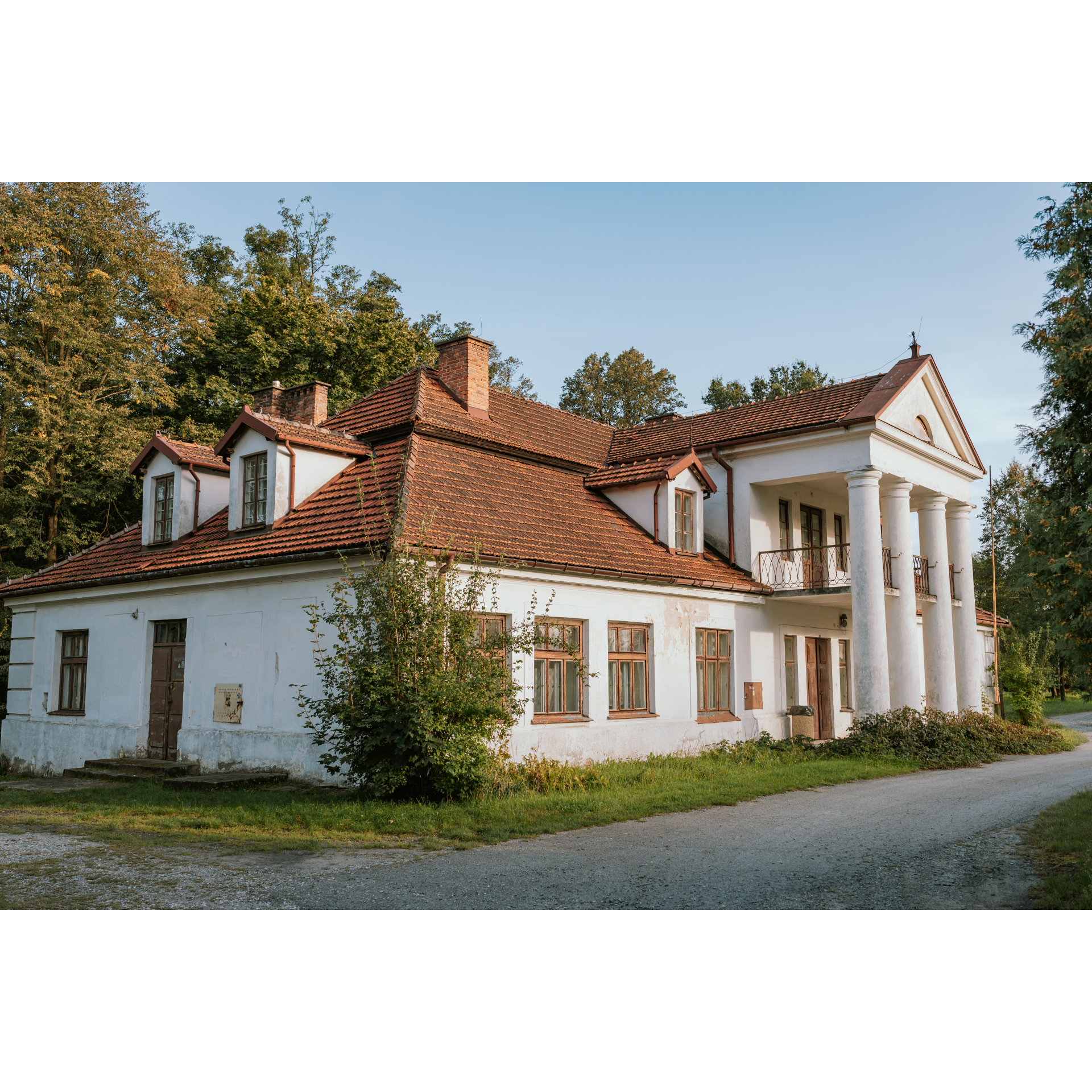
Stand in front of the railway station in Dębica, with your back to the building. At the roundabout, take the third exit onto Głowackiego Street. When you reach Kościuszki Street, turn left. You will pass under the railway tracks, go past the City Hall with the Regional Museum hidden behind it, and continue straight on the roundabout to cross the Wisłoka river via a truss bridge. A kilometre after the bridge, turn right and then at the fork after the road bend, go right again. This road will lead you under the A4 motorway to Żyraków. There, you will find a restored two-story Neoclassical mansion and an adjacent park. Beyond the mansion, choose the road leading left to reach the main road in the village. Turn right there. Sticking to this road, passing by a school, you will reach Wola Żyrakowska and later Bobrowa. Amidst the village buildings interspersed with cultivated fields and meadows, beyond Bobrowa, you can stop at a cholera cemetery, a remnant of times when the population was decimated by infectious diseases without any defence against them. Having passed some sparse groves, you will enter Korzeniowa. It is worth seeing the mansion situated over the Wisłoka valley there, styled in the Polish manner, with a portico based on 4 Doric columns and a balcony on the first floor. Travel through the village to Podole, which lies before Przecław.
- 2Przecław18.6 kmPrzecław
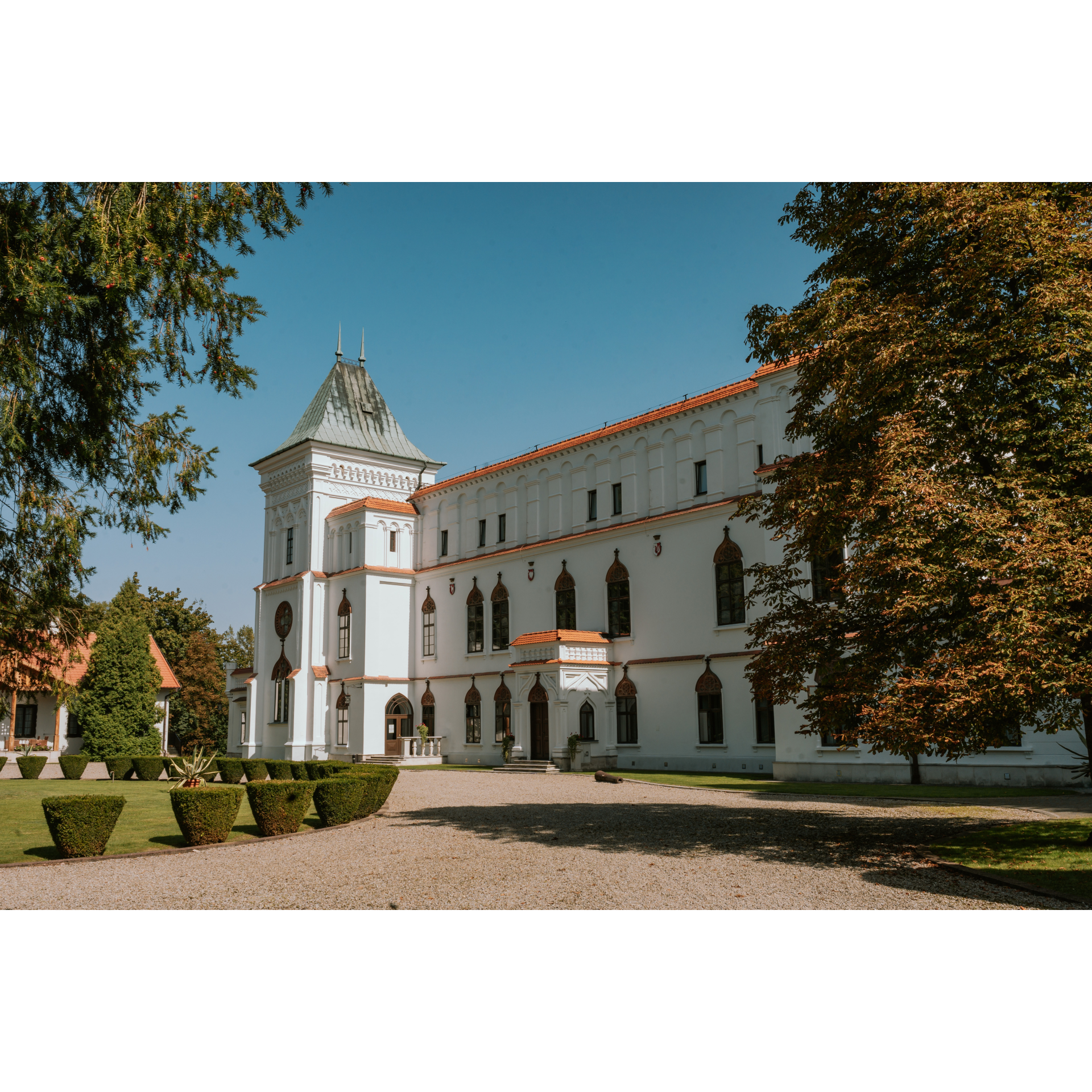
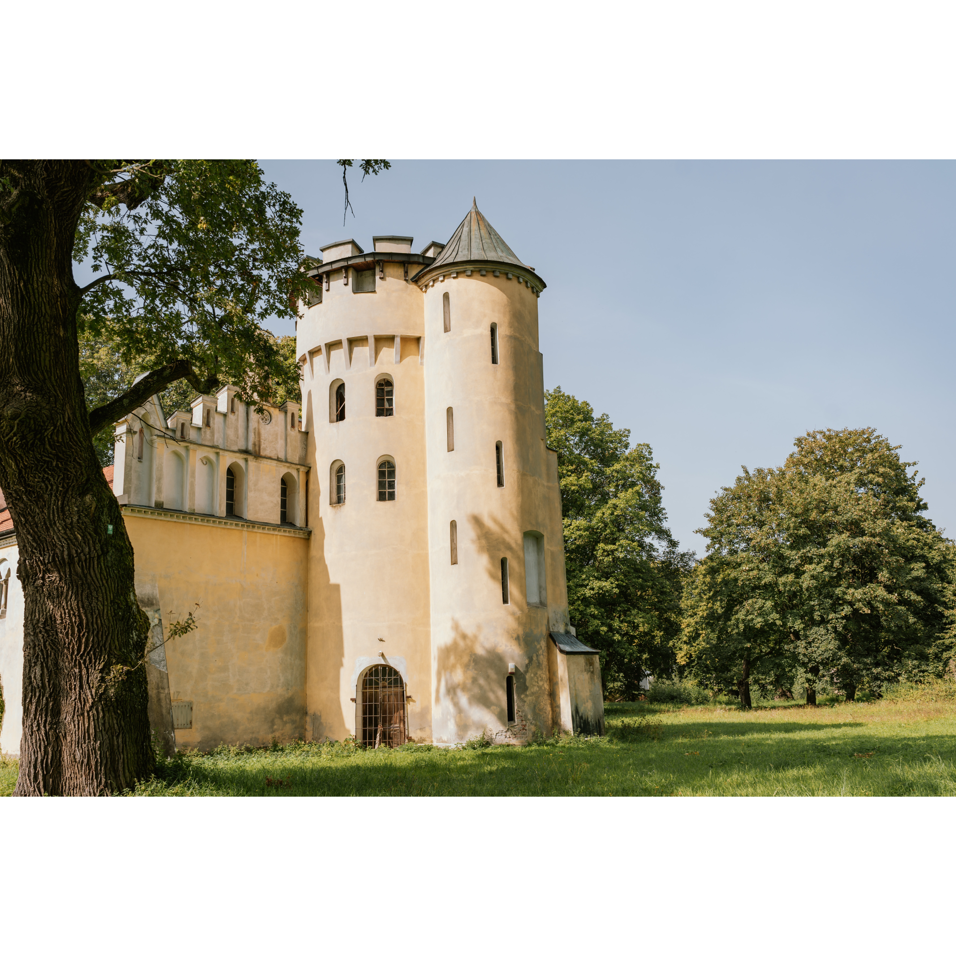
Upon entering the town, you will find a Jewish cemetery, and further on, a castle. It is a beautiful residence, built in the 15th century in the Renaissance style, and in the 19th century, it was redesigned according to the Gothic order. Currently, features of both styles are visible – the Renaissance lightness of the structure is mixed with Gothic stucco. Inside, you can find frescoes, including a copy of the famous Creation of Adam by Michelangelo, known from the Sistine Chapel. There is also a Neo-Gothic church located on the northern slope of the castle hill dedicated to the Assumption of the Virgin Mary. At the base of the hill, you will also find a market square with mostly single-storey service and residential buildings. Go around the hill using Podzamcze, 3 Maja, and Kolejowa streets to exit to the southeast and cross the Wisłoka river by a bridge to reach Tuszyma. Turn left at the roundabout onto the provincial road no. 985 and after a few hundred metres take an exit towards Kolbuszowa. Stick to the main road. You will pass a fire station and 300 metres further, turn right following the signpost to Blizna. Of the almost 6 kilometres to Blizna, half will be covered in a forest where the breeding of the Polish pony is carried out in a reserve environment.
- 3Blizna29.2 kmBlizna
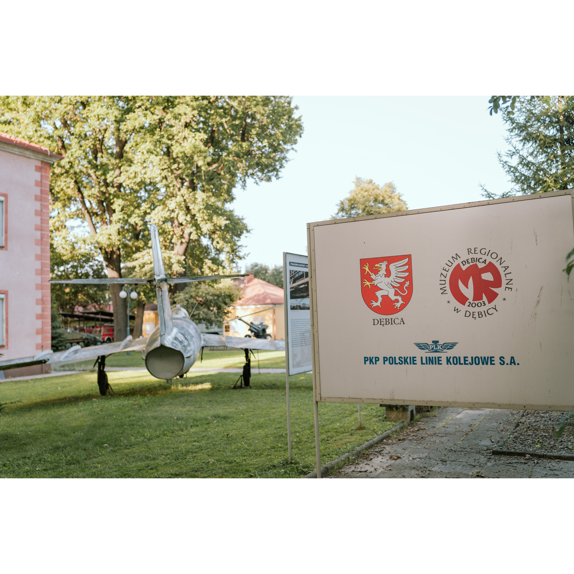
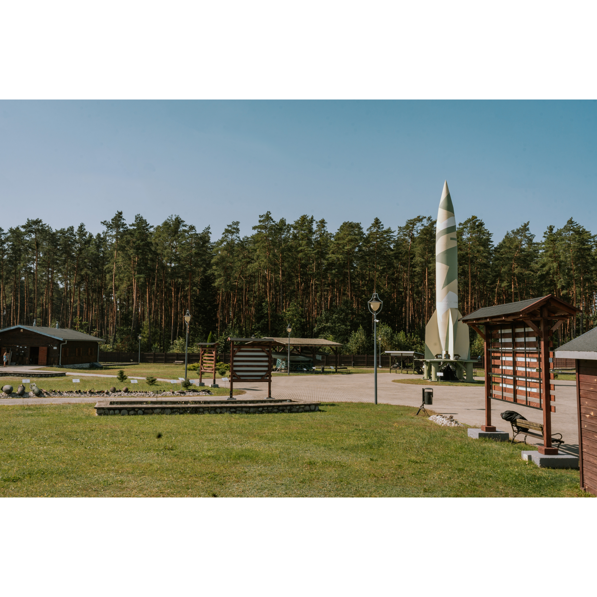
The village's location in the midst of forests influenced its history. During World War II, the Germans designated it as a new rocket weapon research centre, Heidelager, after the main centre in Peenemünde on the Usedom island was bombed by the Allied forces. However, the secrecy of the centre was quickly broken by Polish underground soldiers, who began working on deciphering it and obtaining crucial information about the new German weapons for the British. This task was made even more challenging due to the Germans evacuating the villagers. They built necessary facilities, such as storage units, assembly halls, garage sheds, a narrow-gauge railway, shelters, bunkers, service towers, and testing platforms. The missiles V-1 and V-2 launched from here landed, if they did not explode en route, in the Sarnaki area or between Chełm and Lublin. The end of the testing site's operations occurred due to the approaching Eastern front in July 1944. In the village, you will find remnants of all elements used for rocket testing, a historical park with missile replicas, and a monument. Everything is well-described, which will help you enhance your knowledge about this place and the secret operations during World War II. Leave the village heading south. Travel 5 kilometres through the forest, sticking to the main road. You will reach Wola Ociecka. Take a sharp left onto regional road no. 986. You will cover the next 2.3 kilometres through the forest until you reach Ocieka. Upon entering the village, keep to the right side. In the southern part of the village, you will find two bunkers, positioned almost symmetrically and up to 350 metres away from the road you are on. Several are also located in the forest to the north of the village. These are German bunkers forming a training complex for infantry soldiers. Driving through the forest on road 986, look for a signpost for Pustków and follow it. You will cut through Pustków and then enter the forest again. After 1.1 kilometres, look for an opportunity to turn left at a marked intersection. After 100 metres, turn right. You will drive a wide curve for another kilometre and then make a sharp right turn. Through the forest and a small group of buildings, head southwest for about 2 kilometres until you come across the A4 motorway. You will cross over it, cut through a large intersection, heading straight, and 250 metres past an outdoor gym, you will turn right, heading towards the cemetery. Ahead of you is 4 kilometres of road through fields, which will end at an exit from the motorway. In the village Pustynia, go through the roundabout to enter the road to Dębica and Mielec. After crossing the railway tracks, turn left onto regional road no. 985. You will exit onto Sandomierska Street. Continue along the railway tracks, entering Mościckiego Street. Keep going on the main road, which turns right by the industrial buildings. Pass through the intersection and continue on Kosynierów Racławickich Street, which outlines the northern boundary of Dębica. At the oval roundabout, choose the fourth exit onto Kościuszki Street. As you pass the town hall, remember that behind it lies the Regional Museum with diverse collections – from wooden village ladles to jet aircraft. After the railway viaduct, turn right onto Głowackiego Street, which will lead you to the train station.
- 4Dębica60.6 kmDębica
Your trip ends near the starting point.
Attractions near this route
Gallery
Check other routes


