Rzeszów and its surroundings
Surroundings of the former military training ground
XML, 43.31kB
About this route
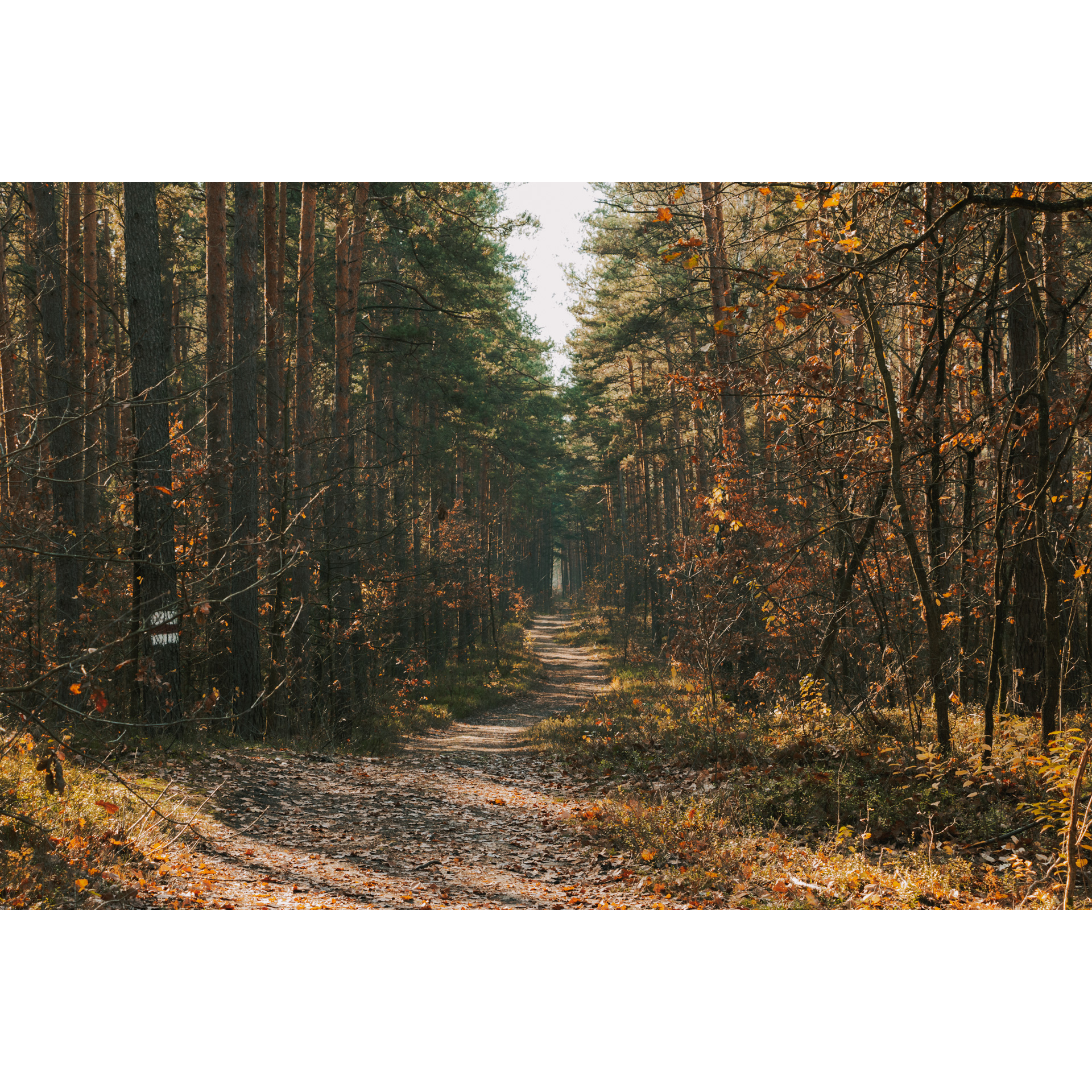
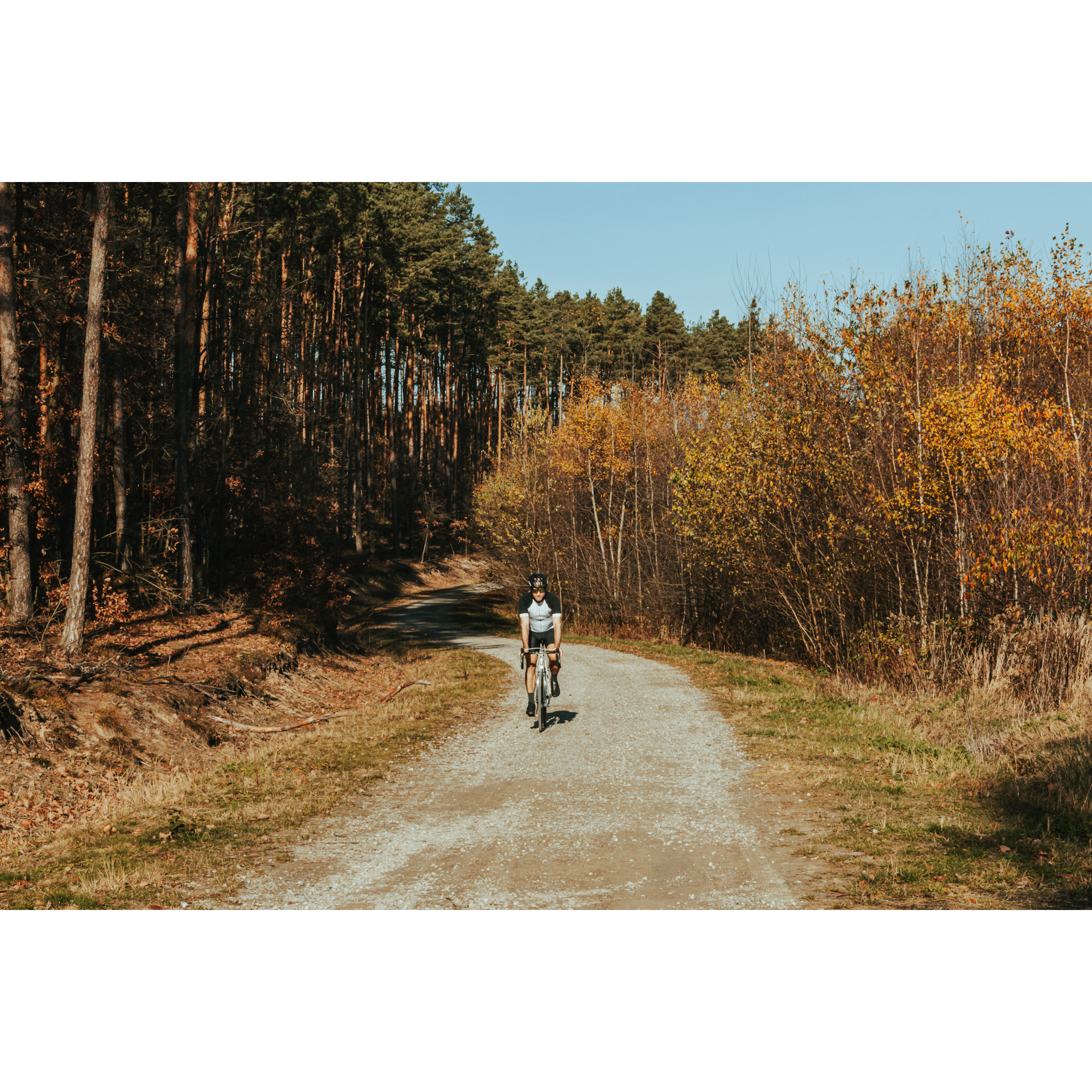
Ahead of you is a route that runs entirely through forest roads. The area belongs to the Mielec Forestry Commission. The route follows the red trail, which is well-marked in the forest, making the route easy to navigate. Its difficulty, however, lies in the numerous descents and ascents with a total elevation gain of 180 m. In the forest, you will find many resting places. The main highlight of the tour is its location, the roads lead around a former military training ground where remnants of World War II can still be found. From the starting point, you can also take another route called Biesiadka Trails. Its length is 3.5 km and the total ascent is 70 m. It is a technically difficult trail for experienced cyclists.
Practical advices
When preparing for a route, be sure to check the weather forecast. This will allow you to take appropriate clothing and limit your luggage as much as possible. However, it is well known that the weather can be unpredictable, so be prepared if it gets worse. It is good practice to pack a thin rain jacket that does not take up much space.
Before starting the route, carefully analyse it on a map. Consider whether your skills and equipment are adequate for the level of difficulty of the route.
Download the accompanying .gpx file so that you always have your navigation at hand. To make sure your device doesn't fail you, also bring a power bank, charger or spare batteries. If the weather changes, you may find it useful to have a waterproof case for your electronic equipment.
Be sure to take drinks and food with you on long journeys; you never know when you will get hungry. Remember that a shop or restaurant may be located a long way away. We recommend that you stock up on water, isotonic drinks, energy bars and snacks. This will make sure you don't lose the motivation to continue riding.
The absolute basis for safety is, of course, a helmet. Also, prepare yourself technically. Make sure you have adequate lighting on your bike. Pack a repair kit. Spare inner tubes, a pump, a multitool, all of these things can come in handy in the event of a breakdown, which of course you don't want!

Rzeszów and its surroundings
Audiodeskrypcja tekstowa
Route details
Parking Lot at Głęboki Ług - Czerwone Wierchy - Biesiadka Reservoir - Biesiadne Mountains - Parking Lot at Głęboki ŁugStart
- 1Parking Lot at Głęboki Ług0 kmParking Lot at Głęboki Ług
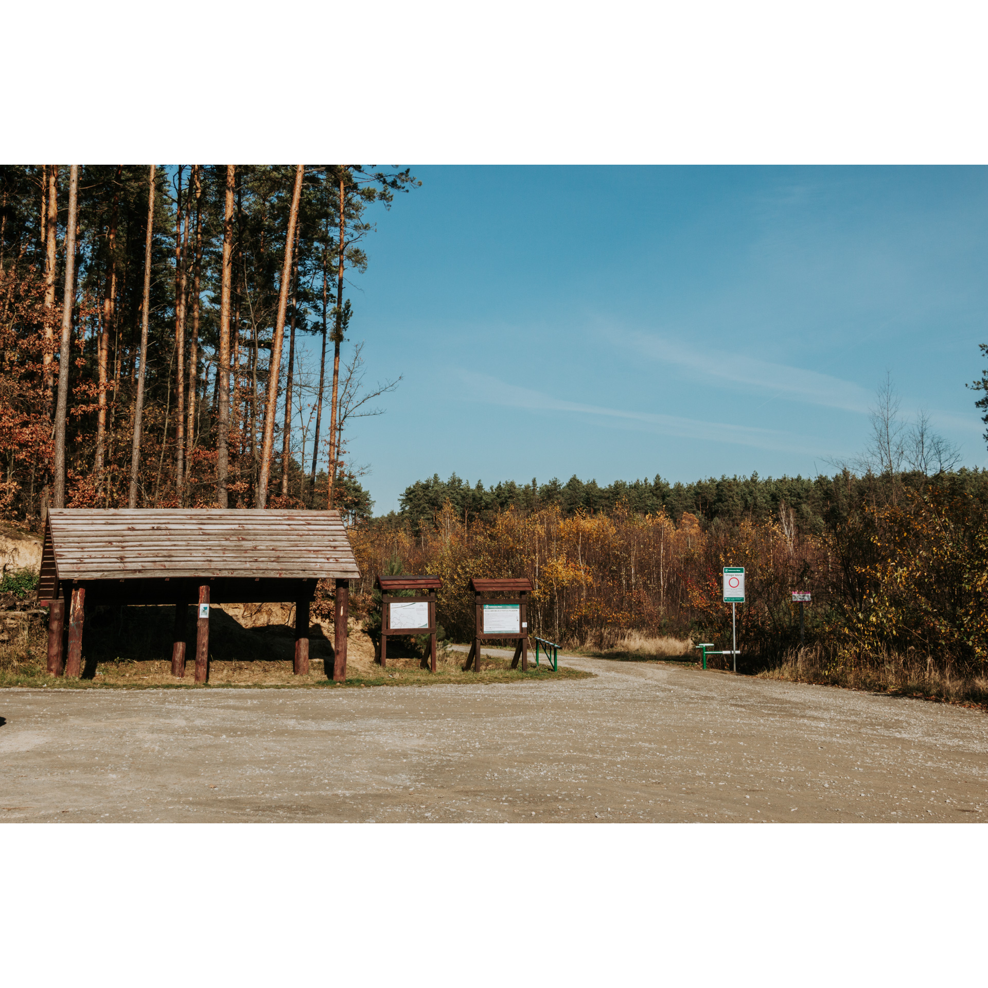
This is where your route starts, at the "Głęboki Ług" forest car park near Mielec. The car park is located by the regional road no. 875, where you will find an information board showing you the route. There are tables with benches next there as well. Throughout the route, you will follow the red trail, whose markings you will find in the forest. Follow its directions. Head onto the gravel road along the forest. After about 1.5 km, you will come to a bifurcation where there is a rest area. Turn left. A gentle ascent awaits you.
There is a former military training ground in this area. During World War II, the forest areas between Mielec and Nowa Dęba were managed by the Germans. At that time, villages were displaced, and new roads were made, fortifications and various military facilities were established. During the war, labour camps also operated here, including Lager Mielec. After the war, the training ground was used by the Polish People's Army. In 1976, it was completely decommissioned, and the area was reforested. However, you can still find remnants of World War II in these Mielec forests, such as graves, cemeteries or simply paved roads.
- 2Czerwone Wierchy6 kmCzerwone Wierchy
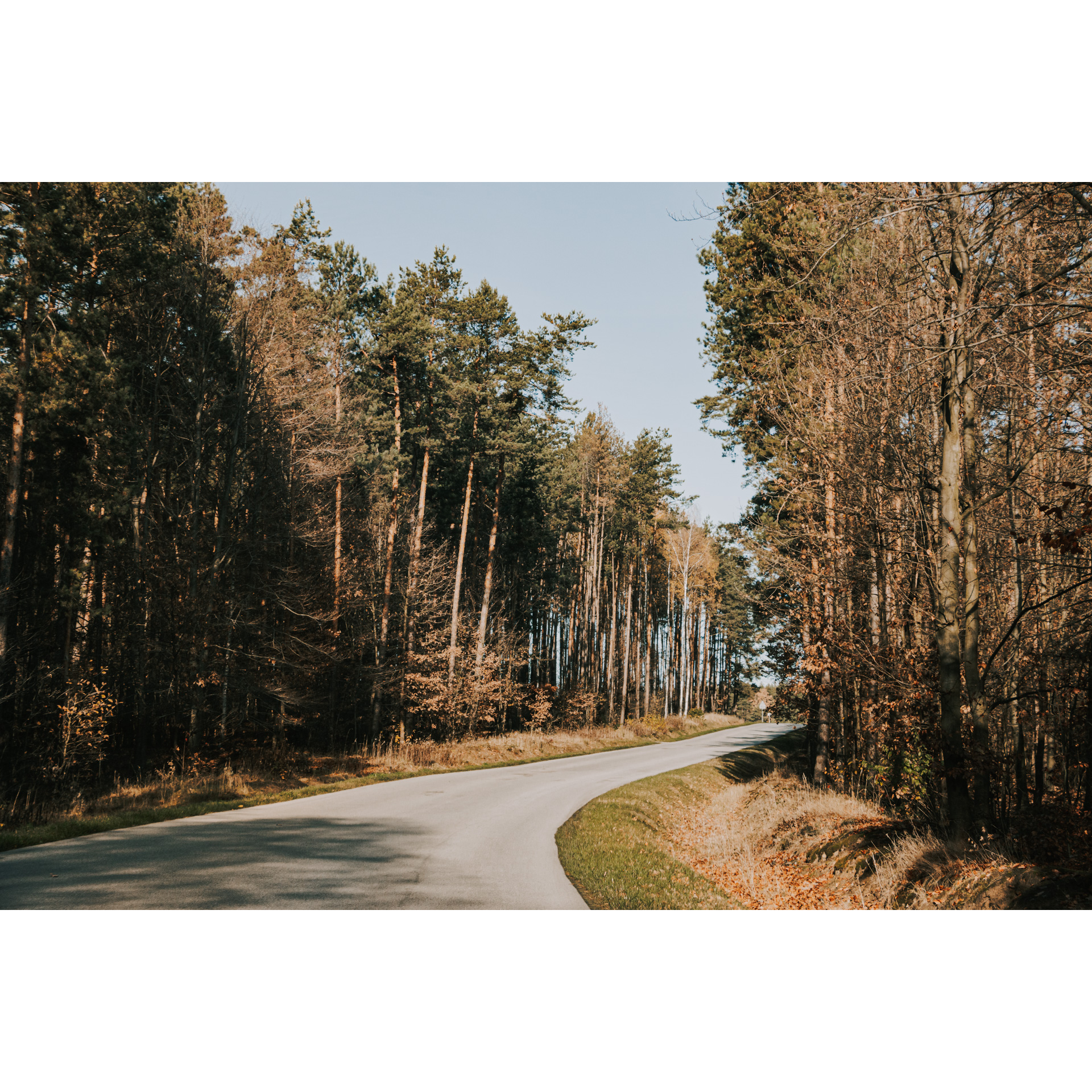
Follow the red trail all the way. In this section, you are riding along the Czerwone Wierchy (Red Peaks), which are elevated inland dunes. When you reach the intersection of the road with a paved road, turn left and continue on the red trail. You will see its markings on trees or signs by the roadside.
Follow the red trail for about 10 km. On the way, you will see a natural monument, the oak tree Kowal and the "Podlesie" fire reservoir.
- 3Biesiadka Reservoir18.7 kmBiesiadka Reservoir
This water reservoir is located near a paved road. You will also find a rest area here. At the road junction, go left first and then turn right, following the red trail markings.
- 4Biesiadne Hills19 kmBiesiadne Hills
The last section of the route leads through the Biesiadne Hills. These are hilly elevations that are 245 metres above sea level. On the other side are the elevations of the Suche Hills. Taking the paved road, turn left following the red trail markings and continue straight ahead to the road where your trip started.
- 5Parking Lot at Głęboki Ług20.5 kmParking Lot at Głęboki Ług
This is the end of your cycling trip. It ends at the starting point, the car park on the regional road no. 875. This road can lead you to the centre of Mielec, where you will see the historic Oborski Palace or the Church of St. Matthew. If you want to have a hot meal, the Mielec Old Town will be the right place for it.
Gallery
Check other routes


