San and Vistula Valley
Through the wilderness of the Janów Forest
XML, 104.18kB
About this route
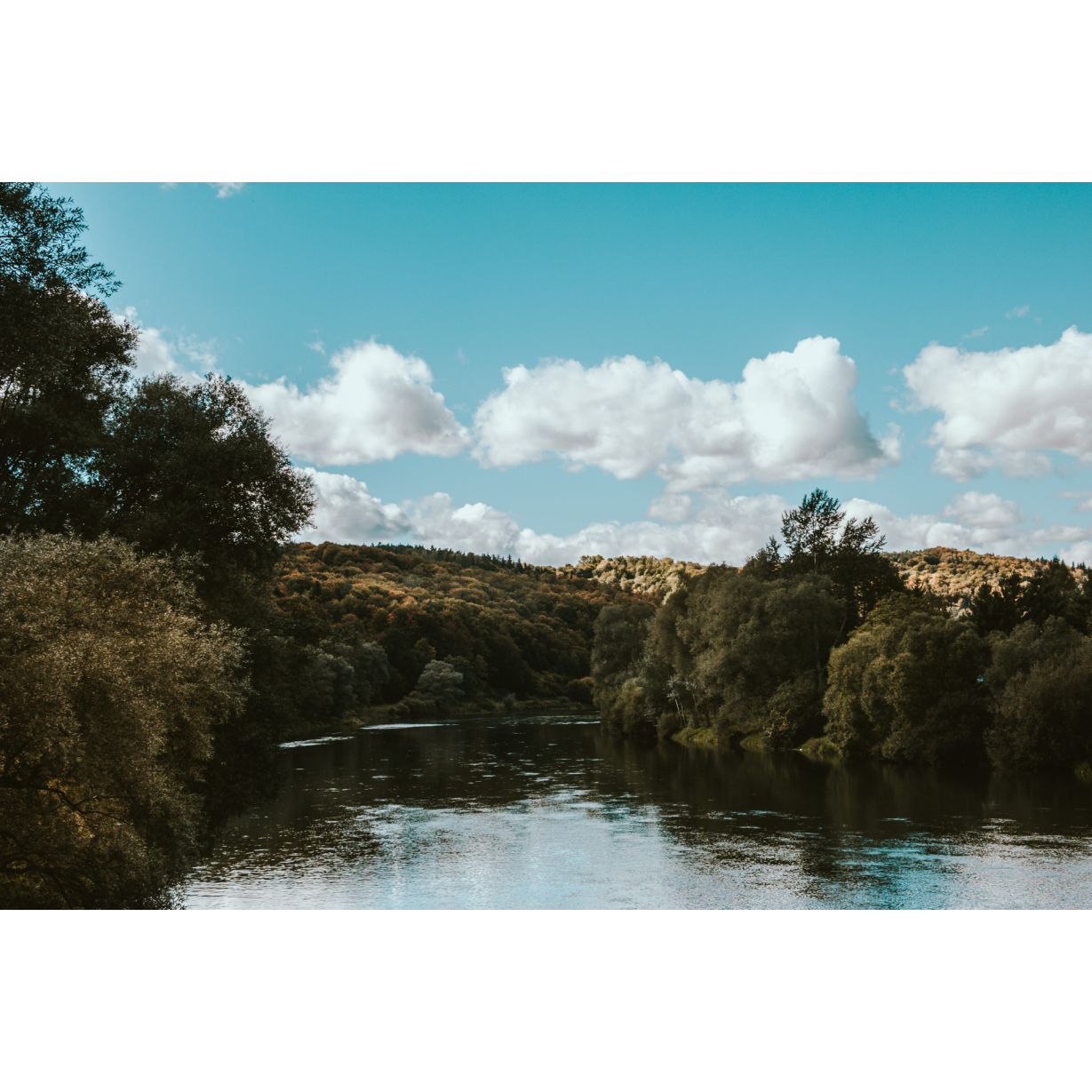
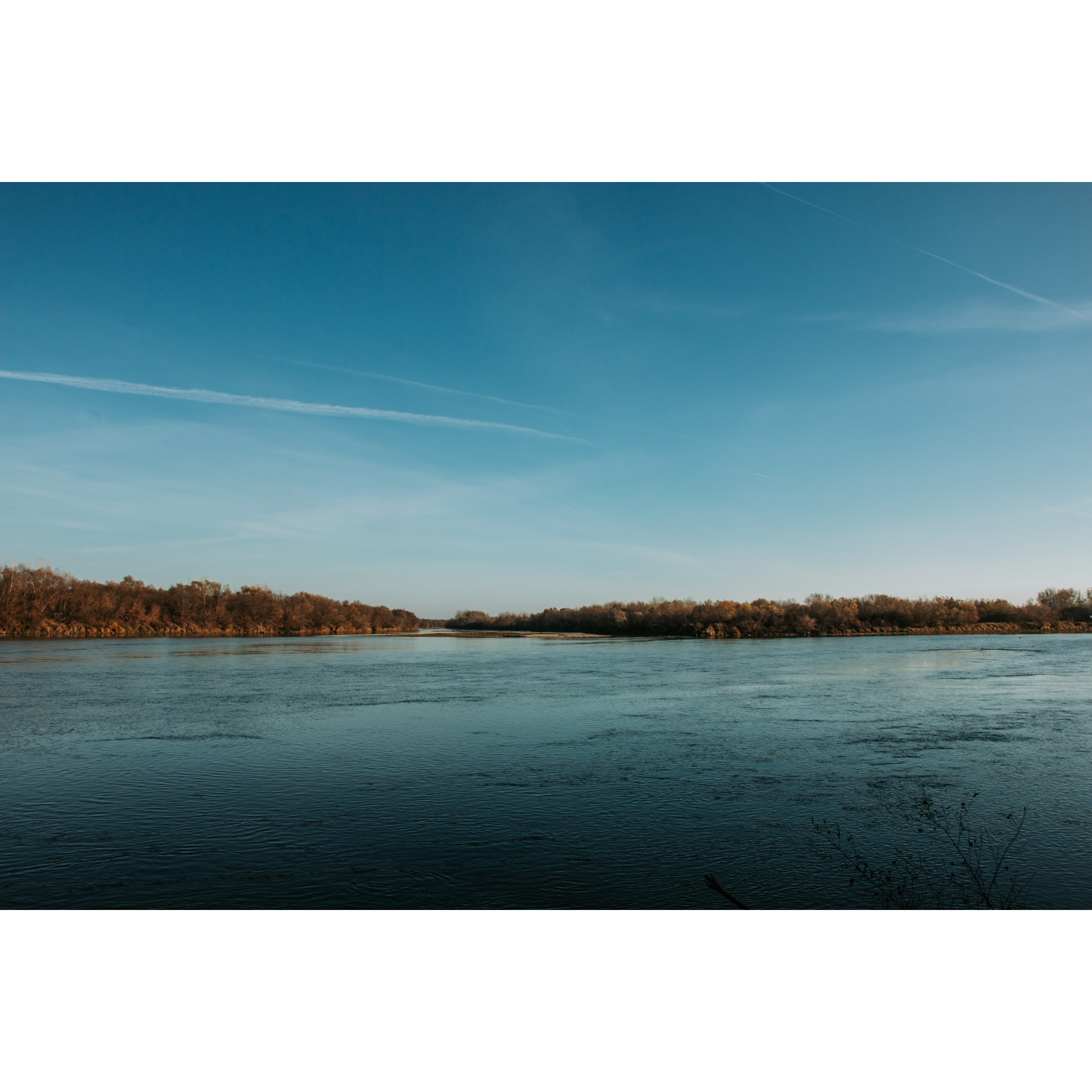
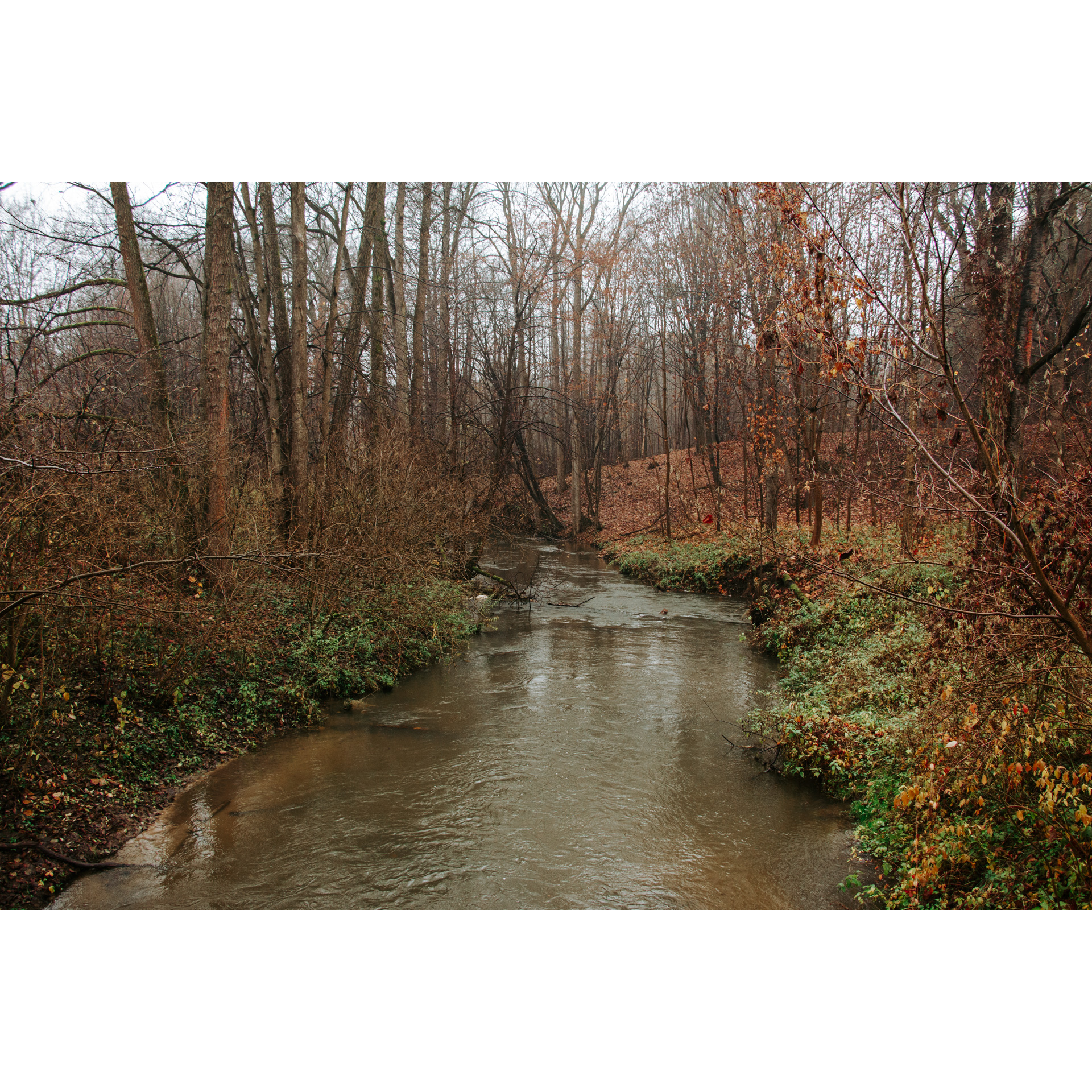
In front of you is a long 7-hour route, running through the area of the eastern part of the Janów Forest. A large part of the area is occupied by the military training ground in Lipa. However, access to the training ground is forbidden, so you will move around it. You will ride along the San River and get deep into extensive forests. Be sure to make a stop along the route in Zaklików; this is the most interesting town of the trip. The route through the wilderness of the Janów Forest avoids roads with heavy traffic. It partly leads along the East of Poland Cycling Trail Green Velo.
Practical advices
A route with a moderate level of difficulty will allow you to test your fitness. Remember that the terrain has a huge impact on how many kilometres you can cover. Trails on flat roads are less strenuous than those on hills or mountain roads.
Planning a group trip? Match the route to the fitness of the weakest participant.
A helmet and light clothing made of breathable materials will be essential for safety and comfort on the route. Other than that, only put on the essentials. Heavy luggage will make your ride more difficult. Also, think about what you will carry the necessary items in. We suggest a backpack or panniers for your bike.
Be prepared for possible breakdowns on the route. It is a good idea to carry the most important tools for a quick fix, such as inner tubes or patches, a pump or a multi-tool. Make sure you have enough water and food, as well as navigation equipment.
Is it looking like a warm and sunny day? Remember sunscreen and sunglasses. If you are planning sightseeing or other activities along the route, a bike lock will also be very useful. Before you leave, carefully examine your route for the trip. Consider whether your skills and equipment are adequate for the level of difficulty of the route.
Dolina Sanu i Wisły
Audiodeskrypcja tekstowa
Route details
Radomyśl nad Sanem - Nowiny - Dąbrówka Pniowska - Witkowice - Chwałowice - Borów - Łążek Chwałowski - Łążek Zaklikowski - Irena - Zaklików - Gielnia - Lipa - Rzeczyca Długa - Rzeczyca Okrągła - Wola Rzeczycka - Żabno - Radomyśl nad SanemStart
- 1Radomyśl nad Sanem0 kmRadomyśl nad Sanem
We suggest Radomyśl nad Sanem as a starting point for your trip. You can park your car near the local churches. Before setting off, it is worth visiting the wooden Church of St John the Baptist. It is a single-nave building erected in the first half of the 19th century. It stands
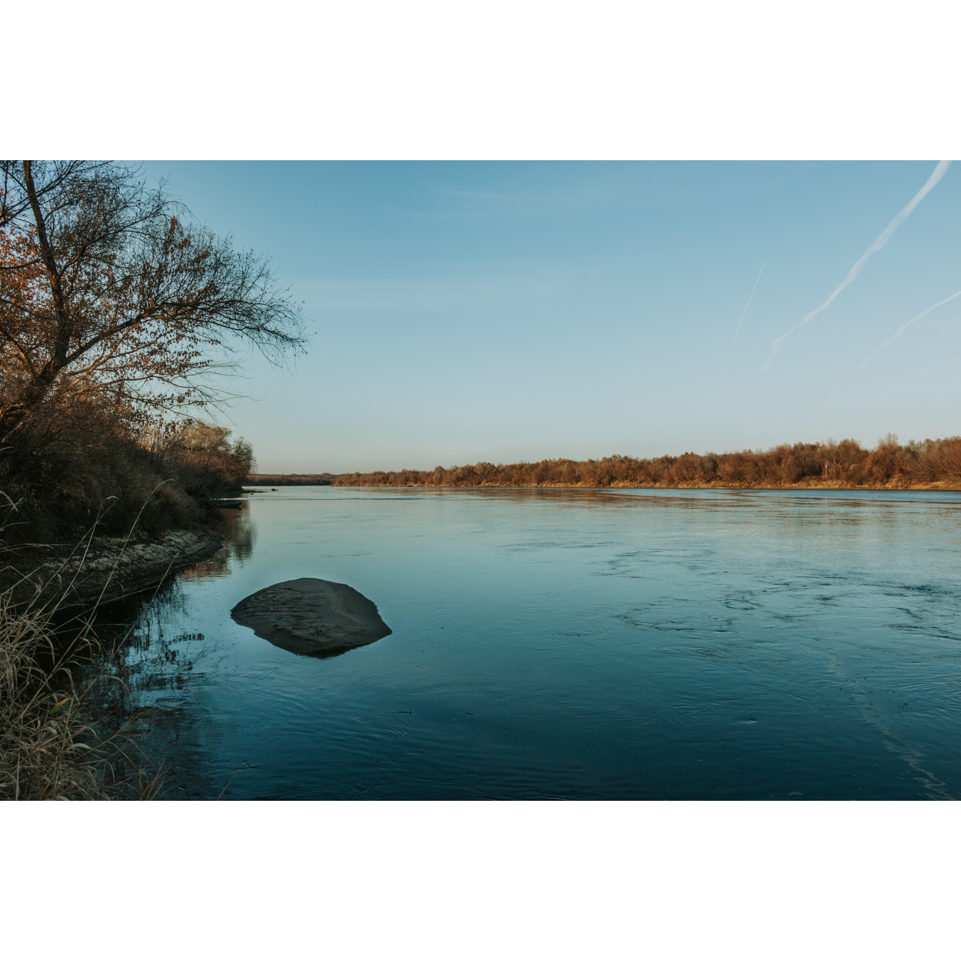
right next to the new parish church. The local church also serves as a shrine to Our Lady of Sorrows and Consolation. Initially, head southwest. Drive past the cemetery where the church "Na Zjawieniu" (On the Apparition) is located. Past the cemetery and just before the bridge over the San River, turn right. The gravel road leads for 6 km along the river embankment. Cross the regional road no. 854 and you will pass a ferry crossing on your left, which connects the banks of the San River. Further on, the surface changes to asphalt and the road ducks among the buildings of Dąbrówka Pniowska and Witkowice. In Dąbrówka Pniowska, head north and look for a small brick Marian shrine. Then through the fields, you will reach Witkowice; keep right at each of the next three intersections. On the edge of Witkowice and Chwałowice, you will once again cross the regional road no. 854, at a junction with a cottage chapel and a bus stop.
- 2Chwałowice15.3 kmChwałowice
The asphalt road turns into a gravel surface again. Nearly 6 km lie ahead of you through unpopulated woodland. Here you will ride along the border of a military training ground, just 2 km south of you. There will be warning signs to inform you of this. In Łążek Chwałowski, stop at the cemetery of 68 inhabitants murdered by the German occupiers on February 2nd, 1944 in retaliation for helping the partisans. Particular bestiality was manifested in the burning of wounded women and children alive. Riding straight ahead, through the forest complex on the Sanna River, you will pass the village of Irena. Next to the road, you will find a war cemetery. January insurgents (1863-1864) rest there in 5 graves, and Russian soldiers from World War I in another 11 graves. After a few more minutes, you will reach Zaklików.
- 3Zaklików29.8 kmZaklików
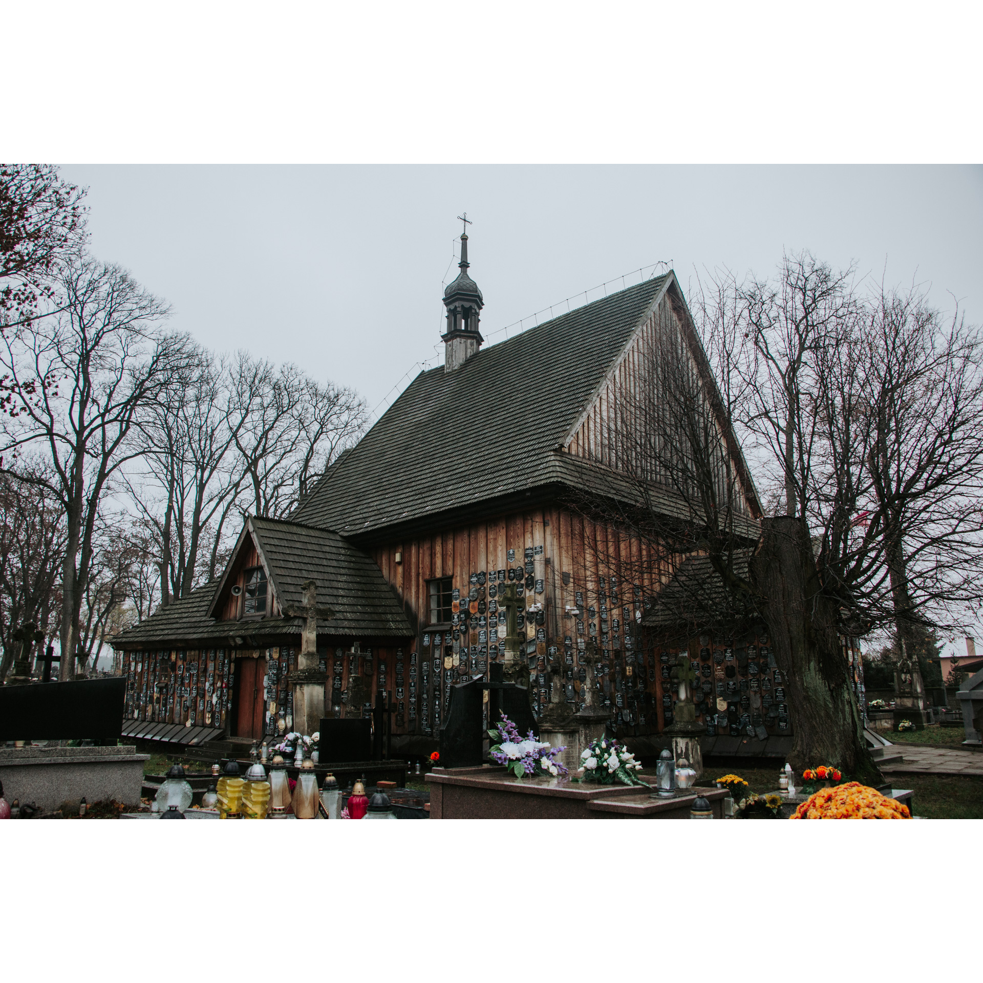
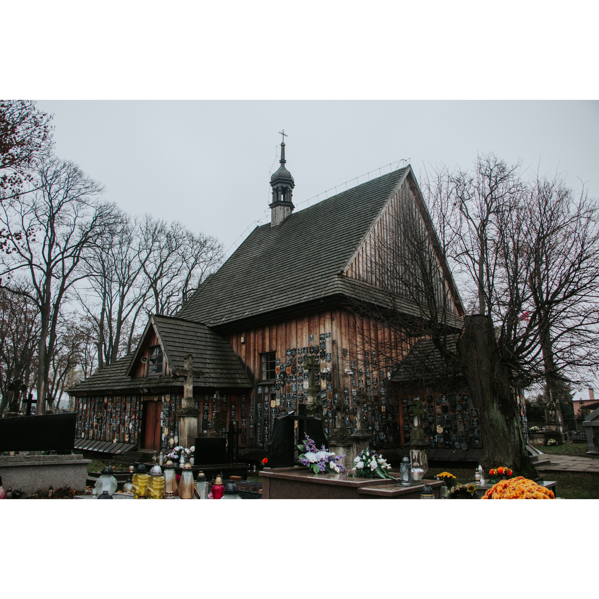
In Zaklików, go through the market square (Sienkiewicza square), past the Church of the Holy Trinity and the Church of St Anne located in the local cemetery. The latter is a small, single-nave wooden building from the late 16th century. At present, it serves as a cemetery chapel. On its outer walls hang plaques from old grave crosses. This tradition dates back to the time of the January Uprising. It gives the church a unique appearance. Here you can turn towards the beach at the reservoir. In the 1960s, a modern castle was built on its banks. It cannot be visited as it is private property. Leave the town on the regional road no. 855, heading south. Then turn left from the regional road no. 855 Past Zaklików follow the signs of the East of Poland Cycling Trail Green Velo. You will cross the railway tracks and under the power cables. Then 500 m after these, turn sharply right. The road will lead you to the village of Gielnia; continue following the signs of the red hiking trail and the green bicycle trail. Then you will come to the buildings in Lipa; at the first intersection, turn left towards Goliszowiec, following the signs. The route leads along an asphalt road. The ride becomes slightly more comfortable. In this section, you can stop at one of the camping sites. These are equipped with shelters and benches. 2.6 kilometres after the junction, while in the forest, turn right, heading south. You will have nearly 5 km ahead of you through dense forest. Remembering the history of the region during World War II, consider how difficult it was to fight in such terrain and how good a shelter it gave to partisan units. At the end of the road, turn right to reach Rzeczyca Długa.
- 4Rzeczyca Długa51 kmRzeczyca Długa
You will leave the forest in Rzeczyca Długa. Here, the route connects with the East of Poland Cycling Trail Green Velo again. You will follow it to the end of the trip. Turn right at the primary school, and
in Rzeczyca Okrągła, at the crossroads, take the regional road no. 855. Take the side road along the course of the river Dębowiec. Turn right there and follow the main road, crossing the railway tracks and passing the brick church. Turn left onto regional road no. 856, which will take you back to Radomyśl through Żabno.
- 5Radomyśl nad Sanem63 kmRadomyśl nad Sanem
The loop ends at the starting point.
Attractions near this route
Gallery

Check other routes


