San and Vistula Valley
In the San valley
XML, 4.33MB
About this route
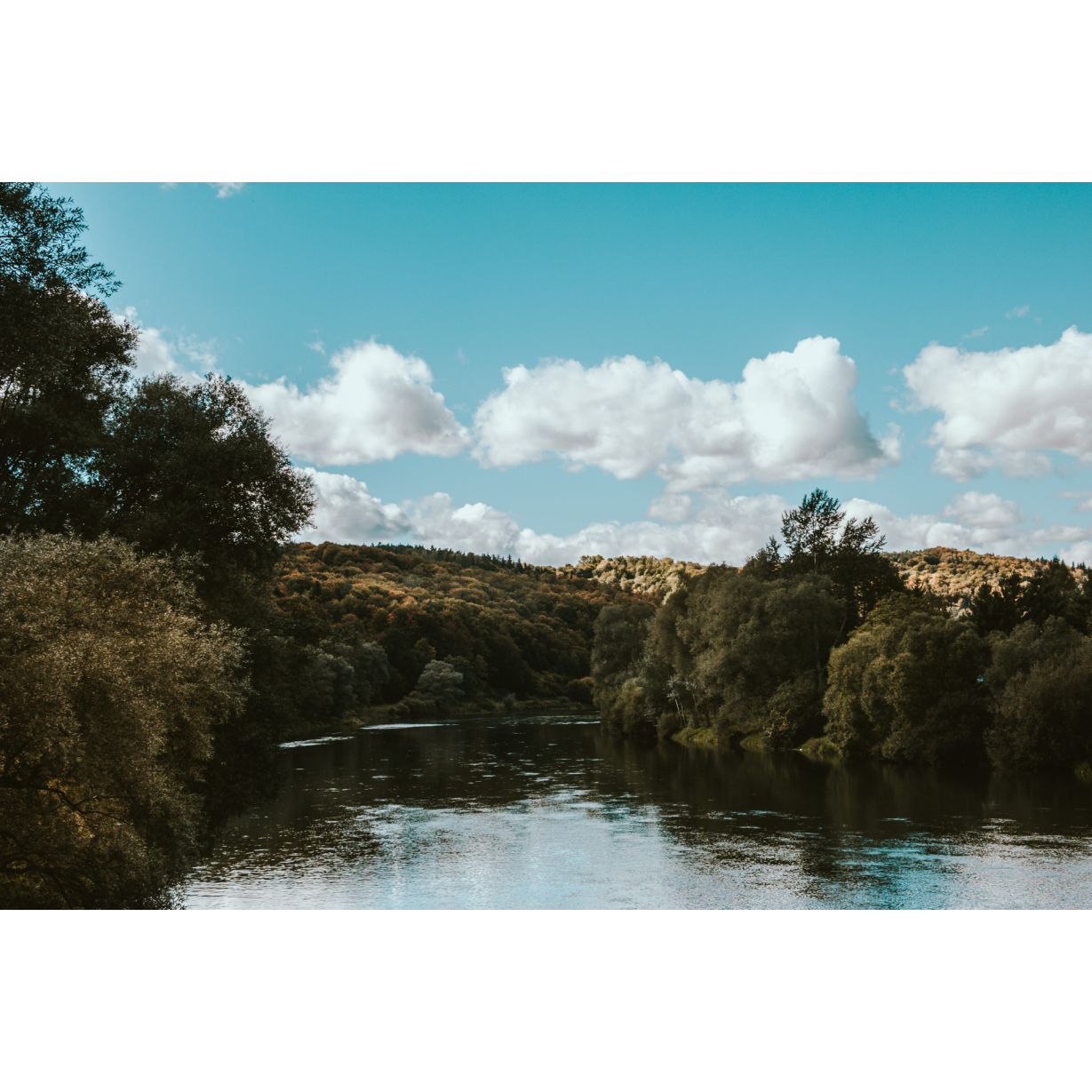
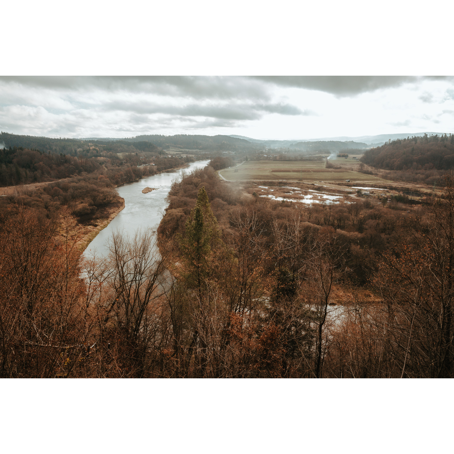
A pleasant, straightforward route, whose difficulty is mainly influenced by its considerable length. It leads through the San valley, one of the most beautiful places in Podkarpackie. Riding through villages and towns, you will get to know the Greek-Catholic Ruthenian minority and the relics left behind, mainly in the form of tserkvas and cemeteries. You will also visit places important for Polish aviation traditions and observe in the field how the Soviets planned to defend the San line against the German attack.
Practical advices
A route with a moderate level of difficulty will allow you to test your fitness. Remember that the terrain has a huge impact on how many kilometres you can cover. Trails on flat roads are less strenuous than those on hills or mountain roads.
Planning a group trip? Match the route to the fitness of the weakest participant.
A helmet and light clothing made of breathable materials will be essential for safety and comfort on the route. Other than that, only put on the essentials. Heavy luggage will make your ride more difficult. Also, think about what you will carry the necessary items in. We suggest a backpack or panniers for your bike.
Be prepared for possible breakdowns on the route. It is a good idea to carry the most important tools for a quick fix, such as inner tubes or patches, a pump or a multi-tool. Make sure you have enough water and food, as well as navigation equipment.
Is it looking like a warm and sunny day? Remember sunscreen and sunglasses. If you are planning sightseeing or other activities along the route, a bike lock will also be very useful. Before you leave, carefully examine your route for the trip. Consider whether your skills and equipment are adequate for the level of difficulty of the route.
Dolina Sanu i Wisły
Audiodeskrypcja tekstowa
Route details
Dynów – Mrzygłód – Załuż – Sanok – Mrzygłód - DynówStart
- 1Dynów0 kmDynów
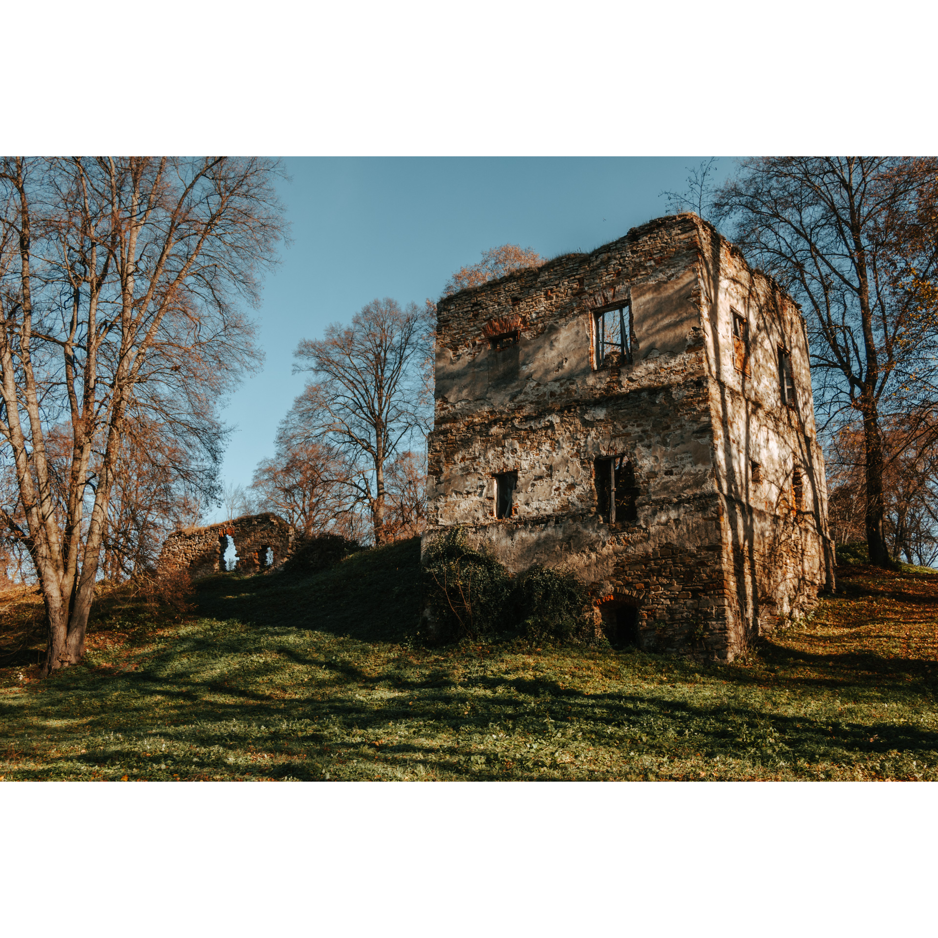
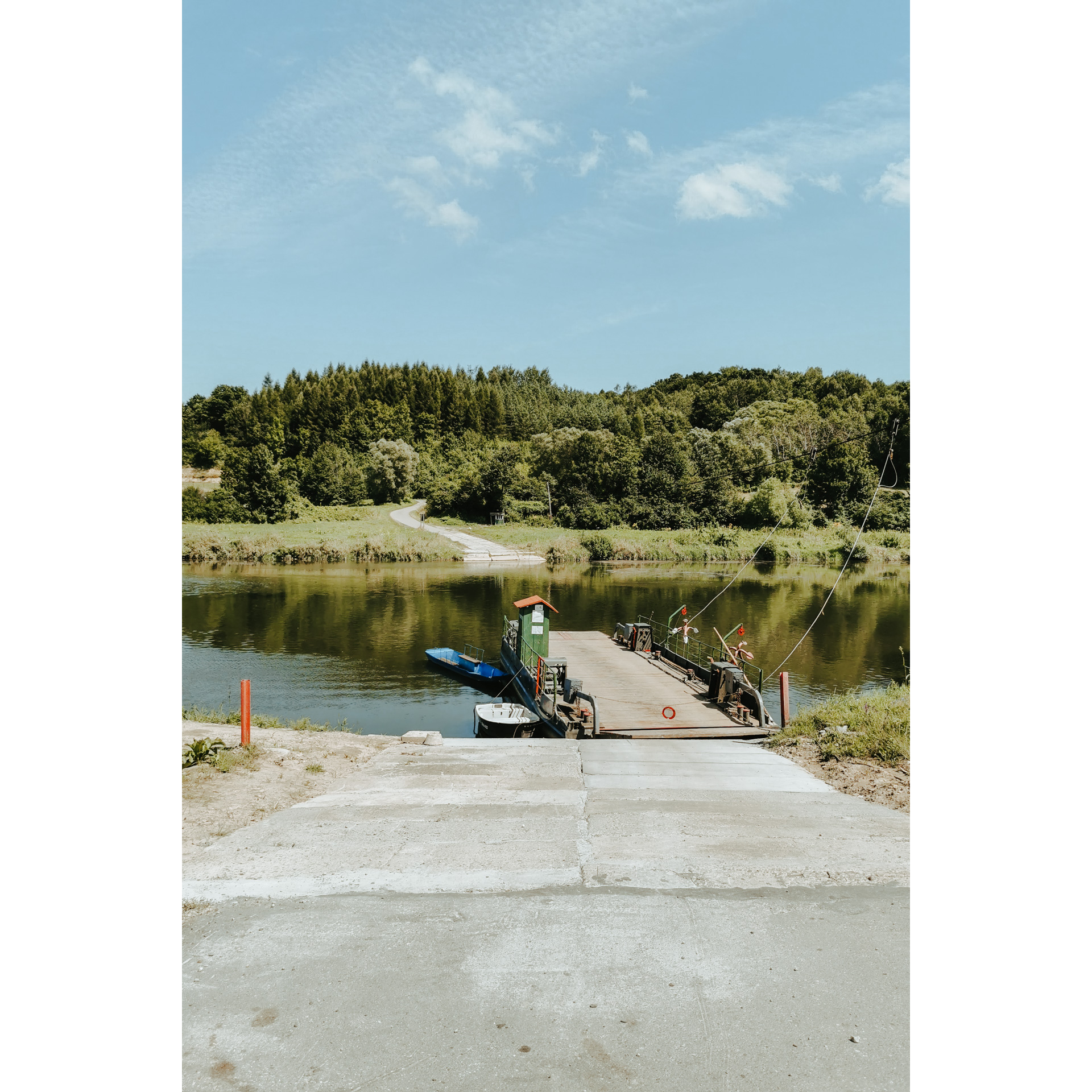
Start the route at the bridge over the San River in Dynów. This is a distinctive spot that also offers beautiful views. Leave the bridge in an easterly direction and turn right. After a few kilometres, you will reach Dąbrówka Starzeńska. This is an interesting village with the ruins of the Stadnicki family castle and the burial chapel located in the castle park. The castle was built in stages from the 16th century and was destroyed in the 20th century by Soviet soldiers and Ukrainian nationalists. Past the ruins, turn right to continue along the San River. You will pass Siedliska, behind which, at the crossroads by the Siedliska Forestry buildings, go straight ahead, still keeping to the river bank. It is worth stopping at the neo-Gothic burial chapel 1.3 km after the junction. It briefly served as a church and there is a small cemetery around it. There is also a bunker of the Molotov Line and a roadside chapel nearby. Behind these monuments lies the small village of Wołodź. Pass through it. After less than 5 km, when you reach the crossroads in Jabłonica Ruska, turn right and take the ferry to the other bank of the San River. Turn left past the ponds on Temeszów. It is worth visiting the ruins of a manor house and a small Church of Our Lady of the Dawn Gate. You will pass by an escarpment at a bend in the river and a small bluff. These are good places to rest and enjoy beautiful inanimate nature. The next village, Vitryłów, is a long one. At its start, follow the main road. Stop at the church, a former tserkva. Turn left at the abandoned small half-timbered church further on, on the border with the village of Końskie. Behind a small pond, you will see a typical Polish nobleman's manor house. You have 5 km of riding ahead of you. You will pass the village of Zagródki, and at the end of the road, you will turn right.
- 2Mrzygłód30 kmMrzygłód
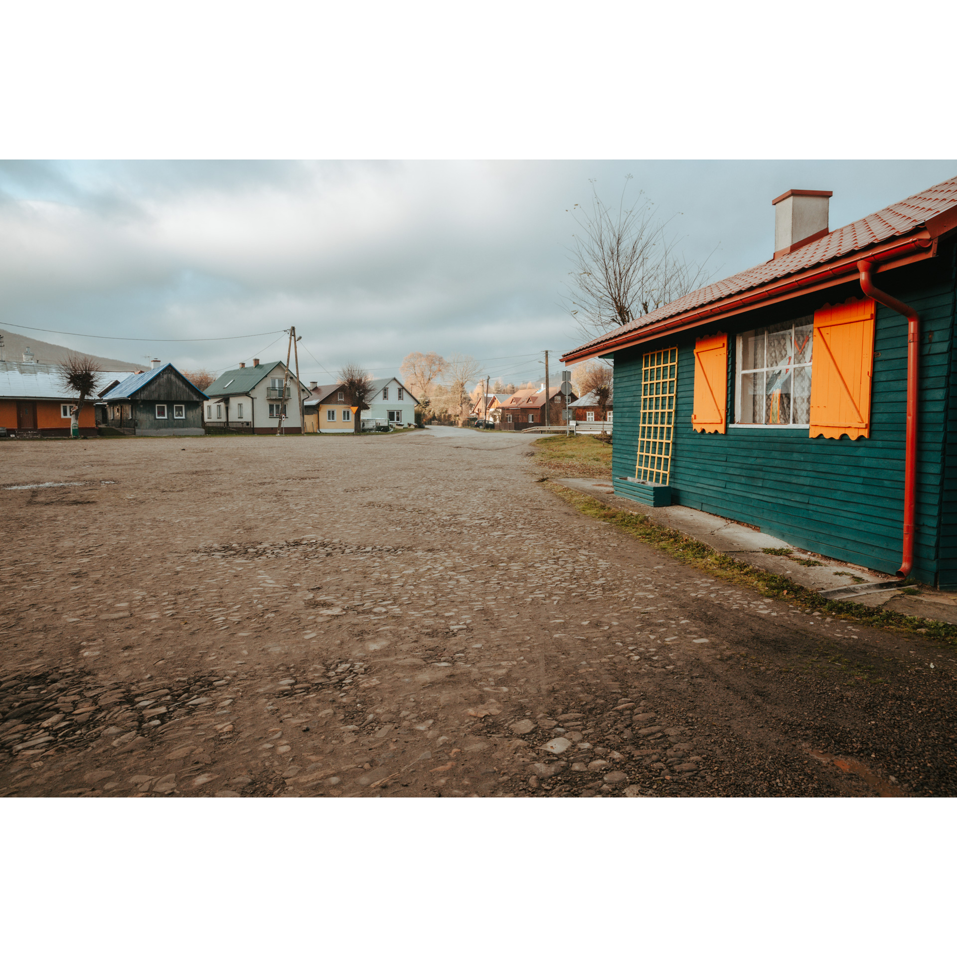
This village is an example of the degradation of a former town, but with a preserved spatial layout. Entering the village, you pass the ruins of a tserkva behind a bifurcation, and a square at the junction of the roads. This is a typical oval village, where the spheres of sacred and profane, the church and the inn at the square, were connected but visibly separated. Today, the square is rarely used as a place of trade. Turn left and cross the bridge over the San River. The church in Tyrawa Solna is a former tserkva, well worth a look. You will then drive through Siemuszowa and Hołuczków. In Tyrawa Wołoska, it is worth stopping at the baroque church from the 18th century with beautiful altars. Head further southwest along the national road no. 28. You will ascend the hill through serpentines, and after passing through the woods on the Przysłup Pass, you will reach the observation deck on Słonne, which offers a beautiful panoramic view. You will descend to the village of Wujskie along picturesque serpentines.
- 3Załuż49 kmZałuż
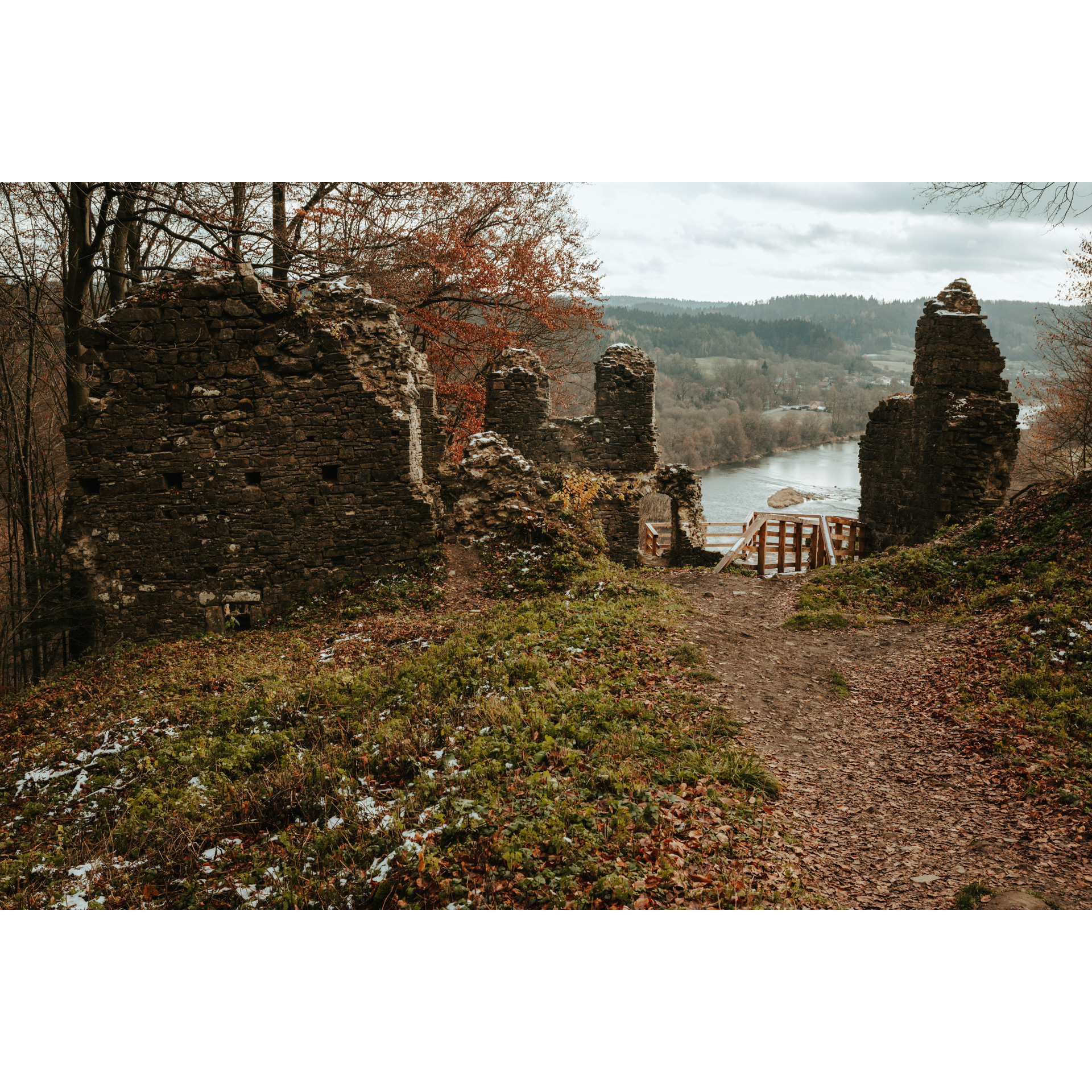
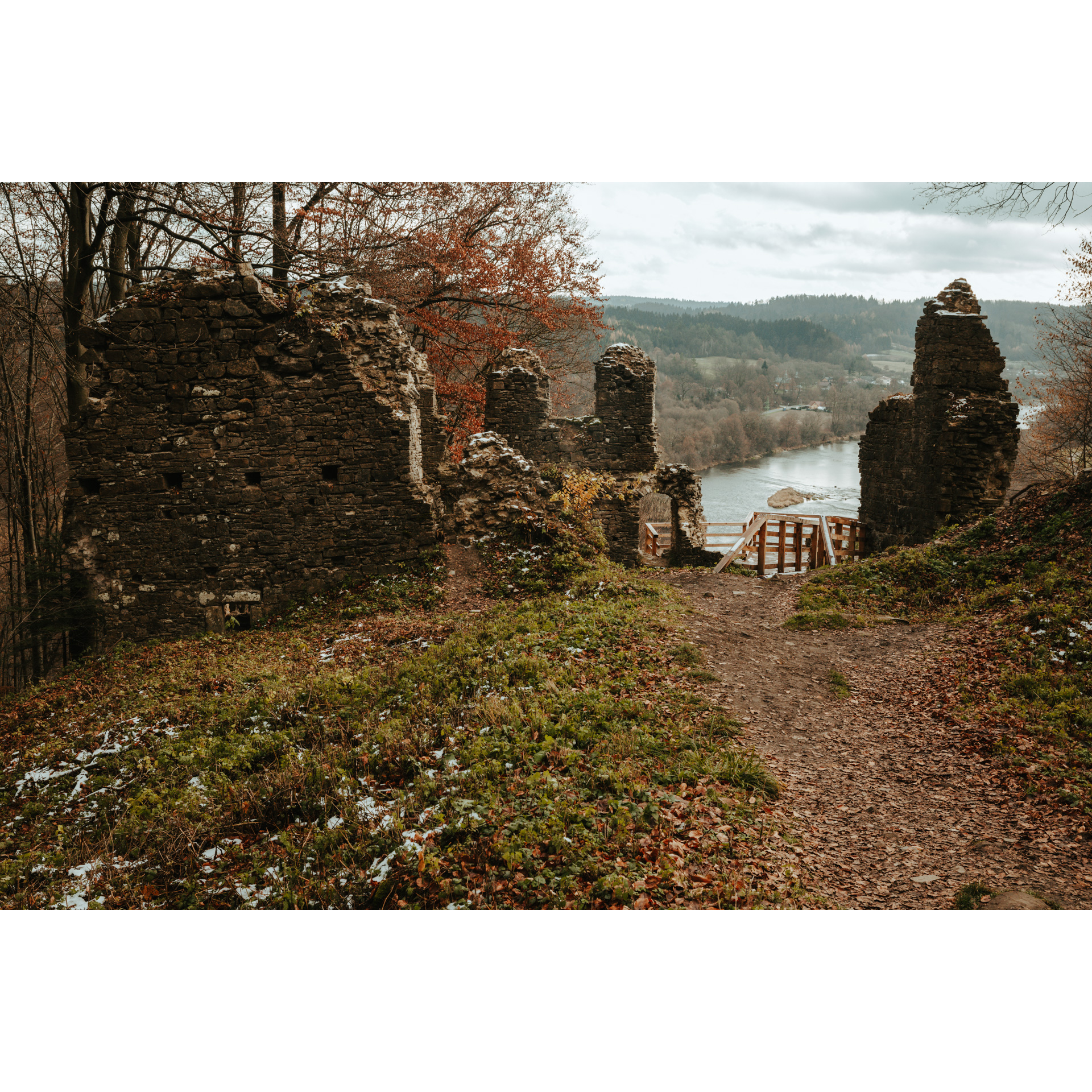
Not far from the school in Załuż are the ruins of Soviet bunkers of the Molotov Line, which were supposed to stop the German attack. We know from history that they did not fulfil their purpose. A larger number of them were built on the San River itself. You will find them when you turn left at the parish church. Before the curve of national road no. 28, turn left, heading for Manasterzec. In the Góra Sobień nature reserve, you will come across the ruins of a medieval castle, located on a high escarpment above the river. Before the church in Manasterzec, turn left and ride beneath the railway tracks. In the village, you will also find a flysch cliff, a remnant of an iron ore mine that closed around 1820. There was also a search for uranium deposits in the vicinity, but these turned out not to be worth exploiting. When you enter Bezmiechowa Górna, turn left and after 1 km, turn left again. You will enter a hill where there is a glider airfield. It was from here that Tadeusz Góra took off in 1938 and covered 577 km, landing near Vilnius, for which he was awarded the prestigious Lilienthal Medal. At the foot of the hill, monuments have been erected; one at the grave of soldiers murdered here in 1939 by the Germans, and another commemorating the aviation history of the area. There is also the Dyrbek nature reserve near the airfield. Take the familiar route back to Załuż. Pass through the village and head along the San River, taking national road no. 28.
- 4Sanok85 kmSanok
When passing through Sanok, it is worth noting the Molotov Line bunkers scattered on the east bank of the river. A must-see is the Sanok market square. You will be impressed by the neo-classical building with the town hall on the western side and the neo-renaissance town hall, as well as the parish church, neo-gothic in body and stunningly baroque in design. Not far away is also the castle, once the property of Queen Bona. The Museum of Folk Architecture, with original buildings from the area and the oil sector, commemorating the area's past as a centre for the refining industry, should not be forgotten. Leaving the town along Traugutta Street, head towards Trepcza, where you will find a fortified settlement and the site of a forced labour camp by the river, opposite the tserkva on the other side of the river.
- 5Mrzygłód100 kmMrzygłód
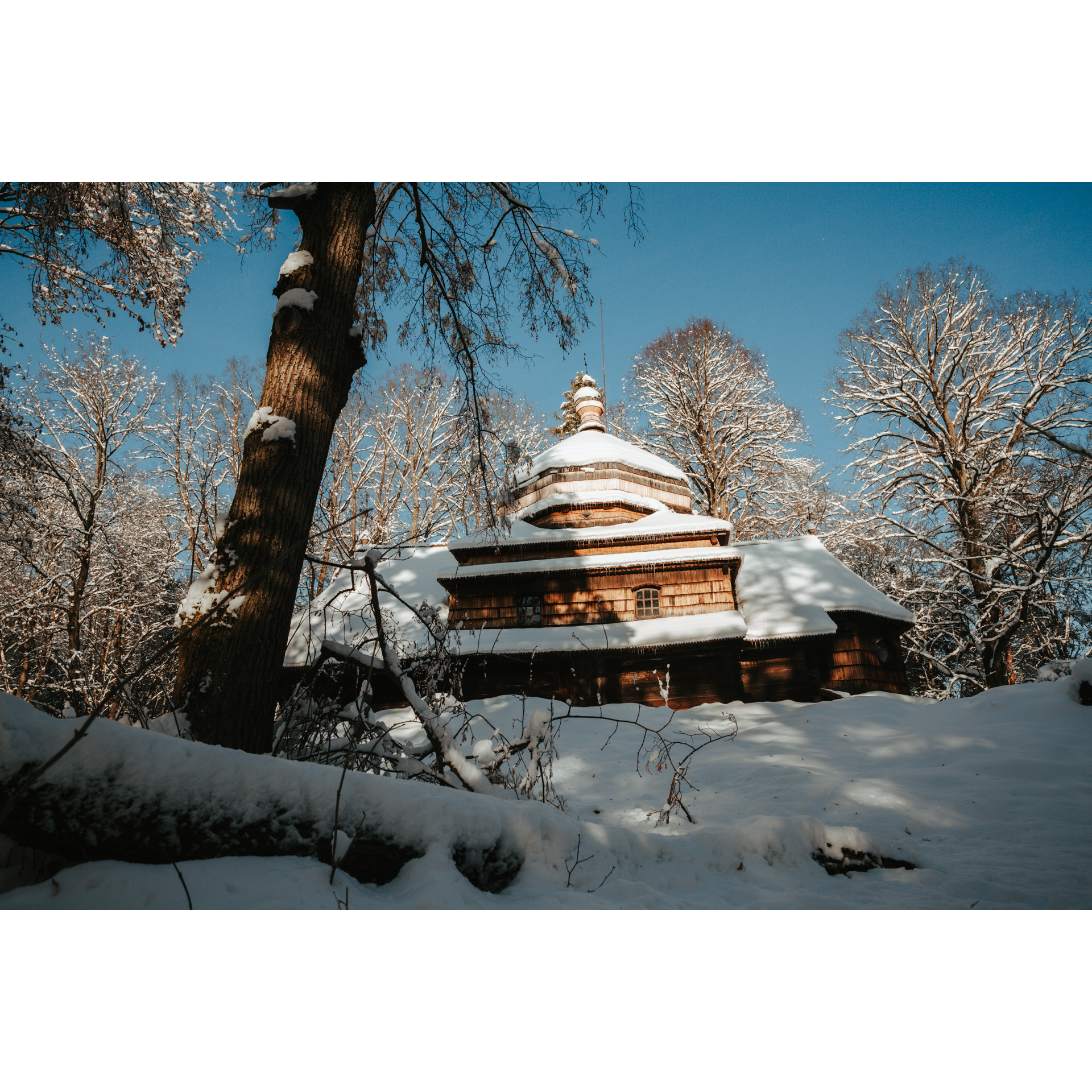
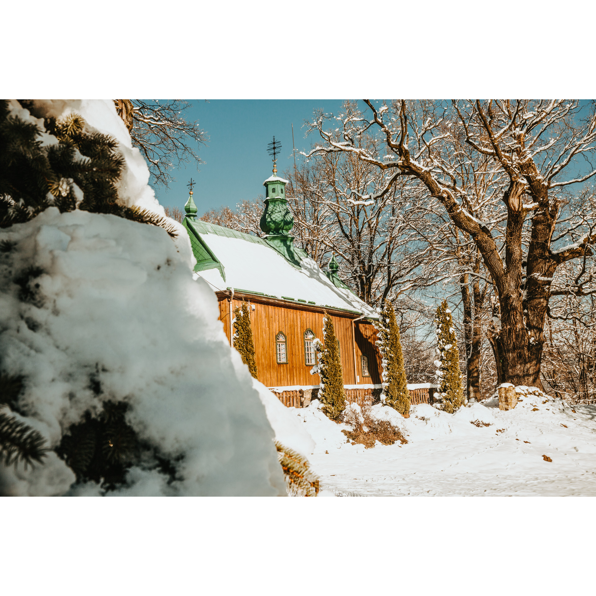
Drive through the village in a northerly direction. You will pass Międzybrodzie and Dębna, which lies to the left of the route. Pass through Mrzygłód, without deviating. In Hłomcza, spend some time at the wooden tserkva from the mid-19th century. As it was used by the Uniates, it has full interior furnishings. You will get to the San River by a road running by the ponds and cross the river near the village of Dobra. There you will find a tserkva surrounded by a low stone wall, standing on a low hill. From the village, leave to the north. After 4 km, in Ulucze, you will come across another tserkva; a temple that until recently was considered the oldest in Poland, however, it was discovered to have been built only in the 17th century. You will return to Dynów along the familiar road through Jabłonica Ruska, Wołodź, Siedliska and Dąbrówka Starzeńska.
- 6Dynów130 kmDynów
You will enter the town through the suburb of Bartkówka. Your trip ends at the bridge in Dynów.
Attractions near this route
Gallery
Check other routes


