San and Vistula Valley
Through the San River Valley from Stalowa Wola to Ulanów
XML, 77.40kB
About this route
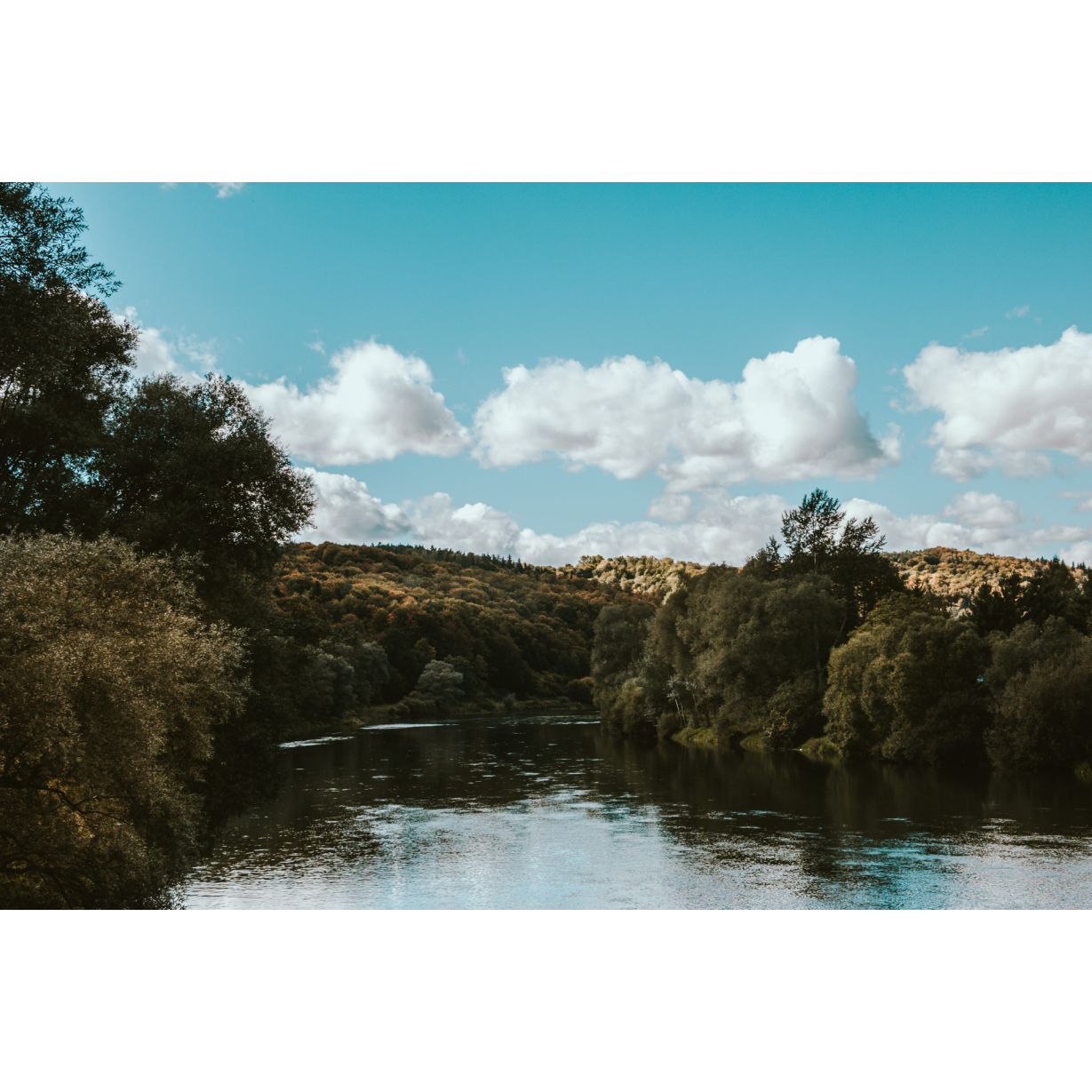
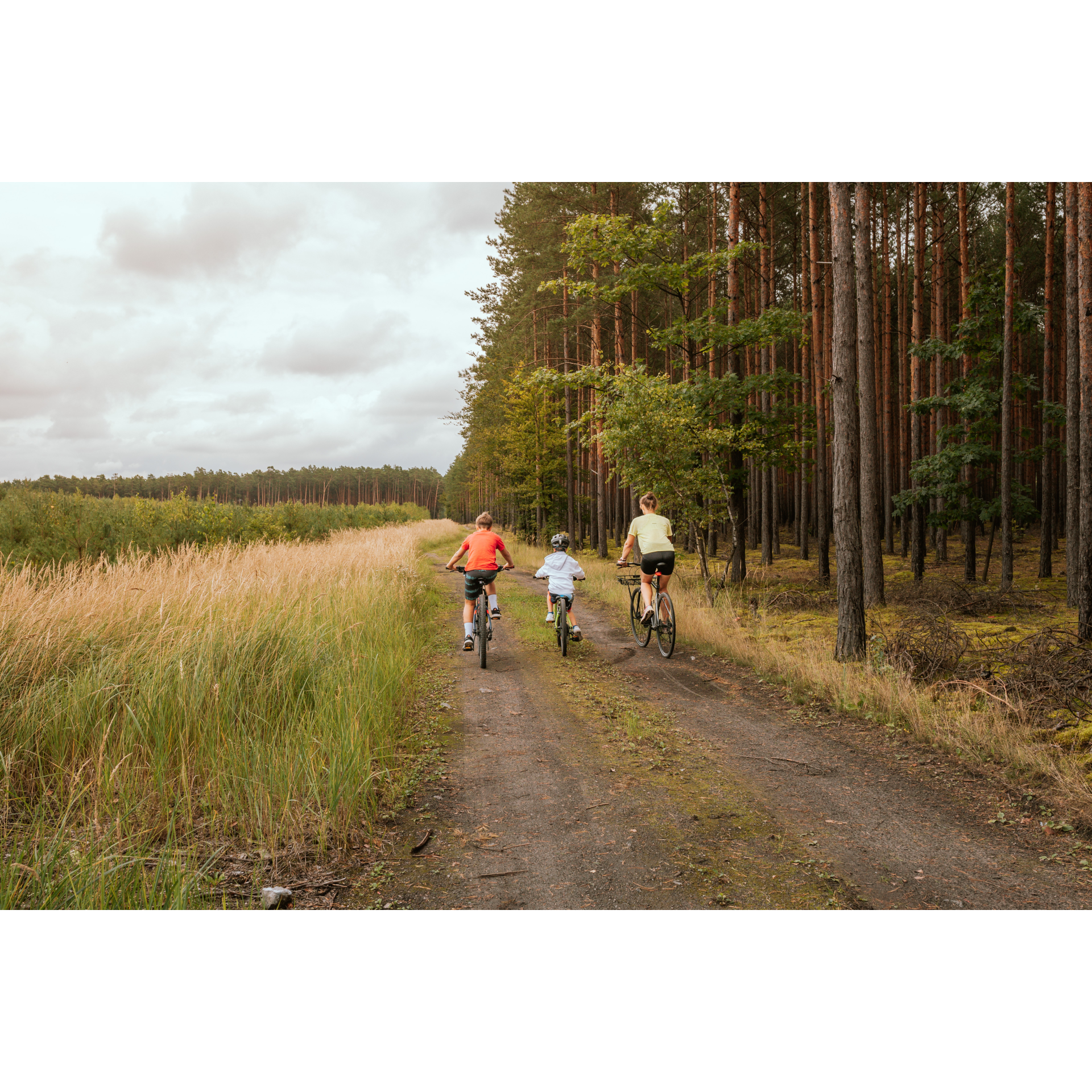
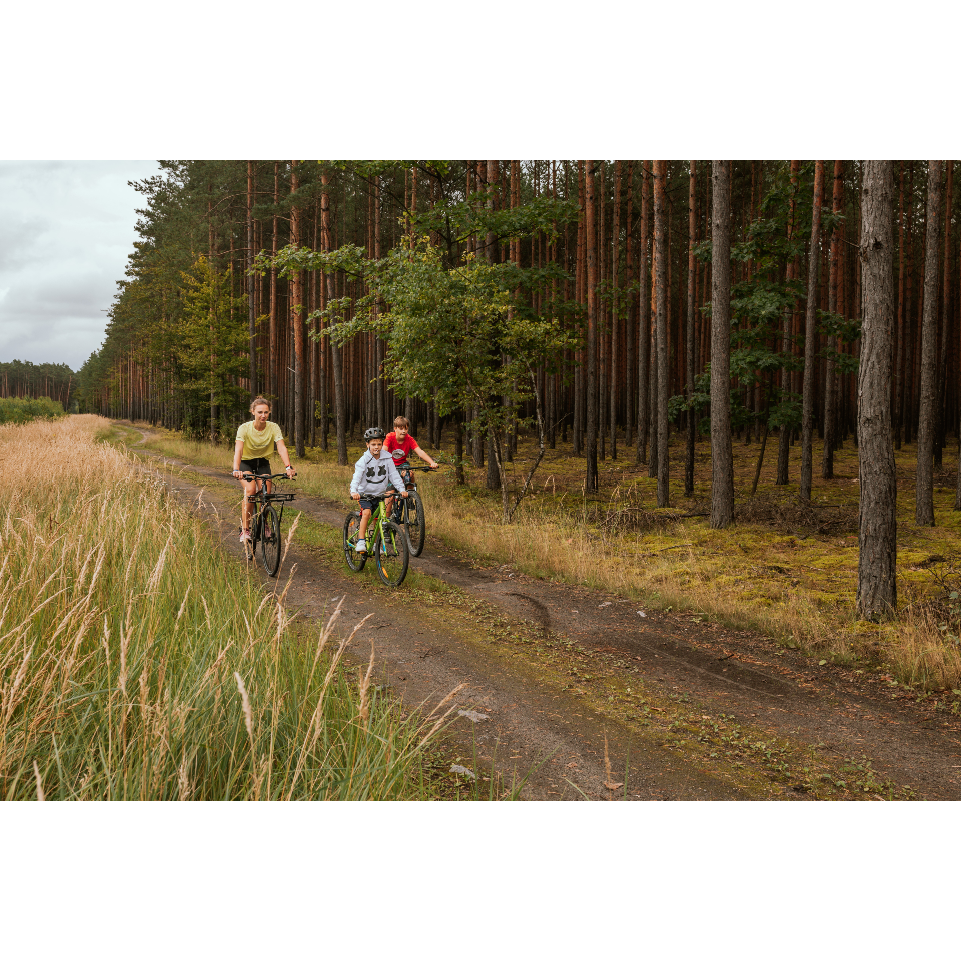
An easy and scenic bike route leading through the fields and forests of the San River valley between Stalowa Wola and Ulanów. Many peaceful kilometres in the midst of nature will be further enhanced by a visit to the interesting town of Ulanów, the hub of Polish river rafting, and home to the only national museum dedicated to timber floating along waterways.
Practical advices
A route with a moderate level of difficulty will allow you to test your fitness. Remember that the terrain has a huge impact on how many kilometres you can cover. Trails on flat roads are less strenuous than those on hills or mountain roads.
Planning a group trip? Match the route to the fitness of the weakest participant.
A helmet and light clothing made of breathable materials will be essential for safety and comfort on the route. Other than that, only put on the essentials. Heavy luggage will make your ride more difficult. Also, think about what you will carry the necessary items in. We suggest a backpack or panniers for your bike.
Be prepared for possible breakdowns on the route. It is a good idea to carry the most important tools for a quick fix, such as inner tubes or patches, a pump or a multi-tool. Make sure you have enough water and food, as well as navigation equipment.
Is it looking like a warm and sunny day? Remember sunscreen and sunglasses. If you are planning sightseeing or other activities along the route, a bike lock will also be very useful. Before you leave, carefully examine your route for the trip. Consider whether your skills and equipment are adequate for the level of difficulty of the route.
Dolina Sanu i Wisły
Audiodeskrypcja tekstowa
Route details
Stalowa Wola – Ulanów – Stalowa WolaStart
- 1Stalowa Wola0 kmStalowa Wola
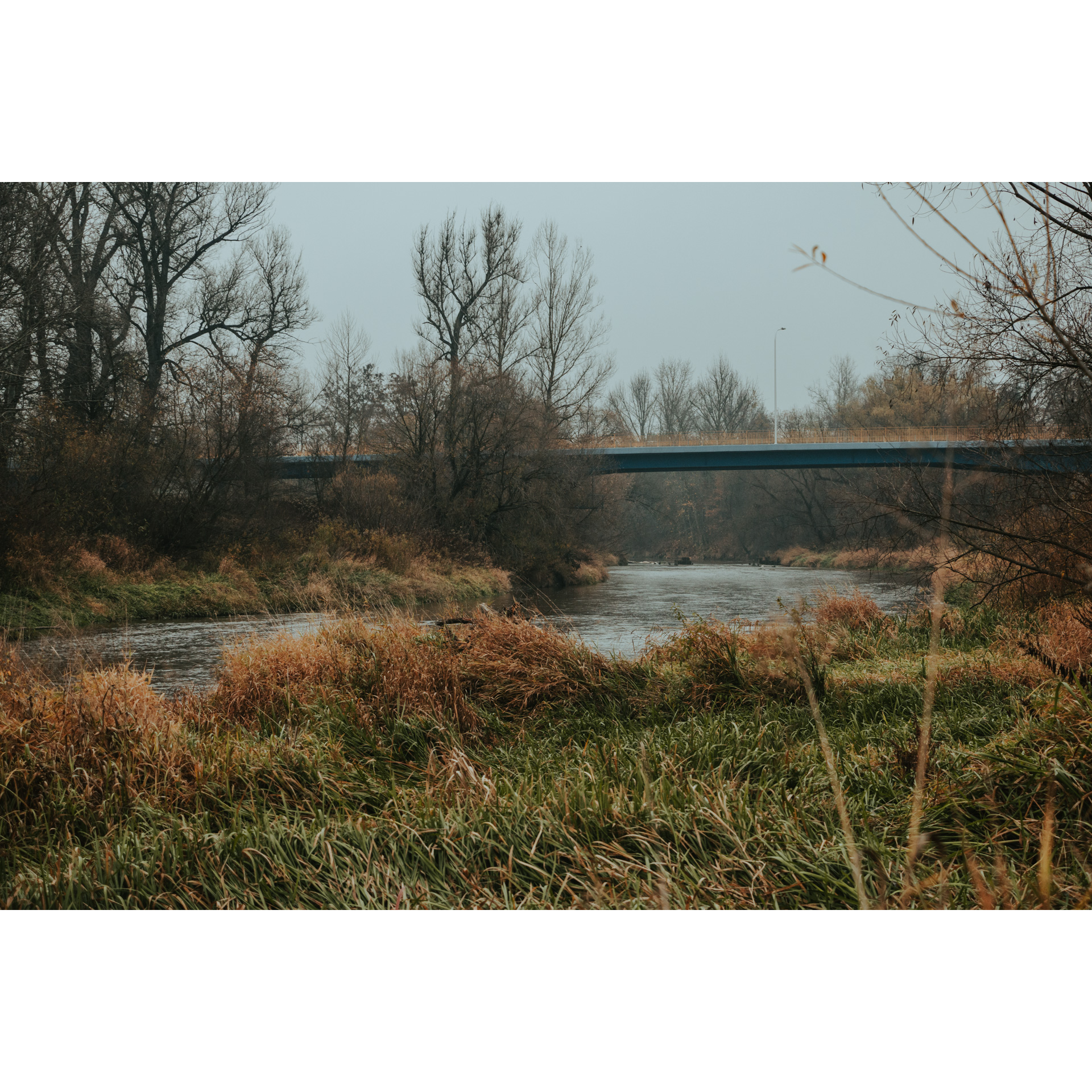
As a starting point choose the Co-Cathedral Basilica of Our Lady Queen of Poland. This is an intriguing example of a modernist sacred building with a substantial structure and an unusual bell tower. It harmonizes well with the overall character of this still young town, founded in 1938 to support industrial development within the Central Industrial District. Head east along Popiełuszki Street and then onto Czarnieckiego Street. The cathedral is oriented, so you will easily determine the direction without the need for a compass. Before reaching the bridge over the San River, you will pass two roundabouts, and then you will enter the Zasanie district, which is on the right bank of the river. After a while, you will arrive at the village of Szubargi, where you will turn right at the roundabout near the cemetery. After passing the Neo-Baroque church, continue in a general southeast direction. Pysznica extends in this direction with fairly compact street-style housing and smoothly transitions into the next locality – Kłyżów. In the village, two things of interest are the iron lattice railway bridge with three spans and Rybakówka Beach. Exiting Kłyżów, you will cross over the railway tracks, entering the fenced area of Zarzecze. It is a large village, quite scattered. It is worth stopping by the banks of the San River here, which, though regulated, still maintains a wild and romantic appearance. A new addition to the village is the S19 expressway, running close to the cemetery and the railway line. Continuing straight on the main road, keep an eye out for signs pointing to Ulanów and a tourist sign for the Ulanów church. The sign indicates a distance of 3 km, which is exactly how far you will travel before crossing the bridge over the Tanew River and entering Ulanów.
- 2Ulanów21.3 kmUlanów
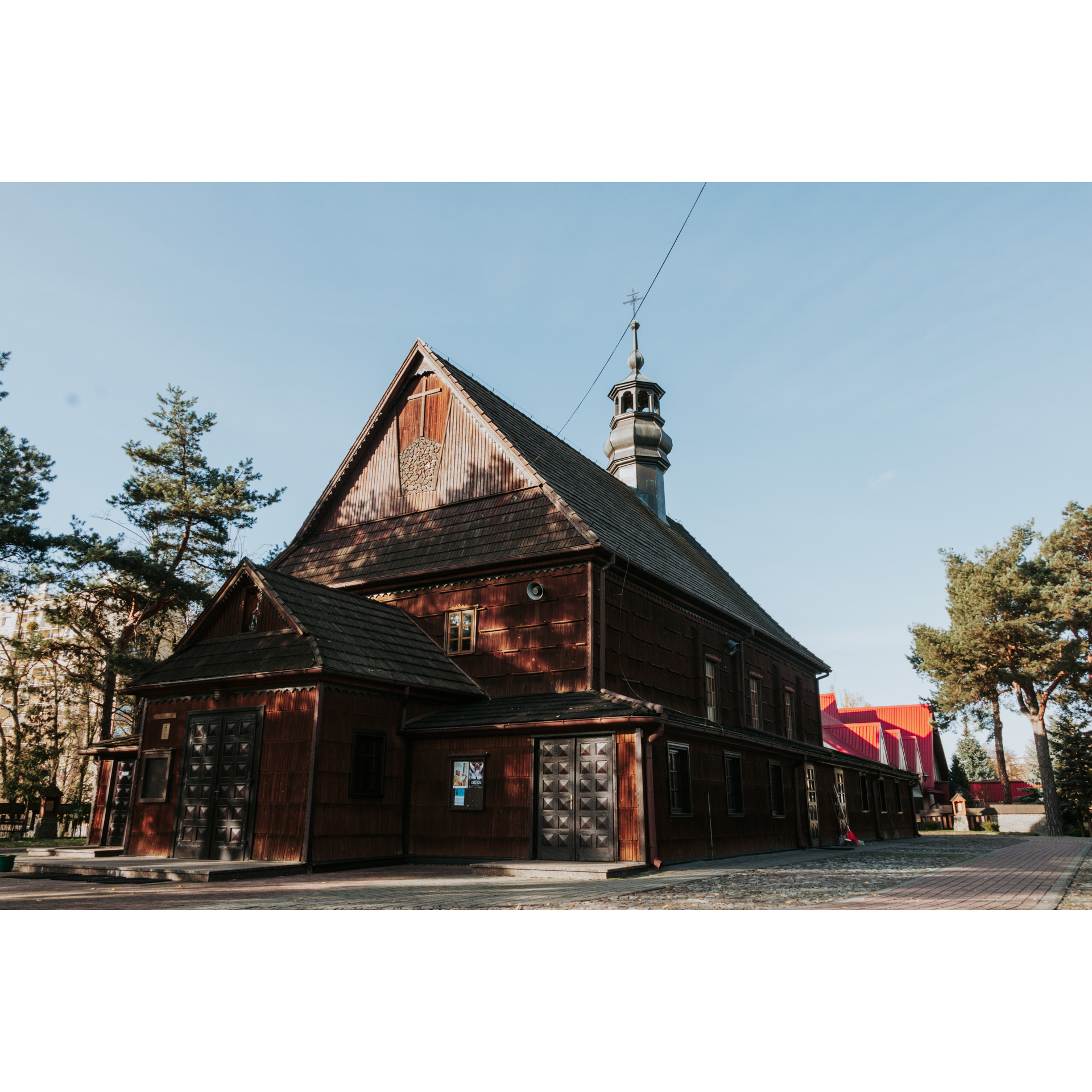
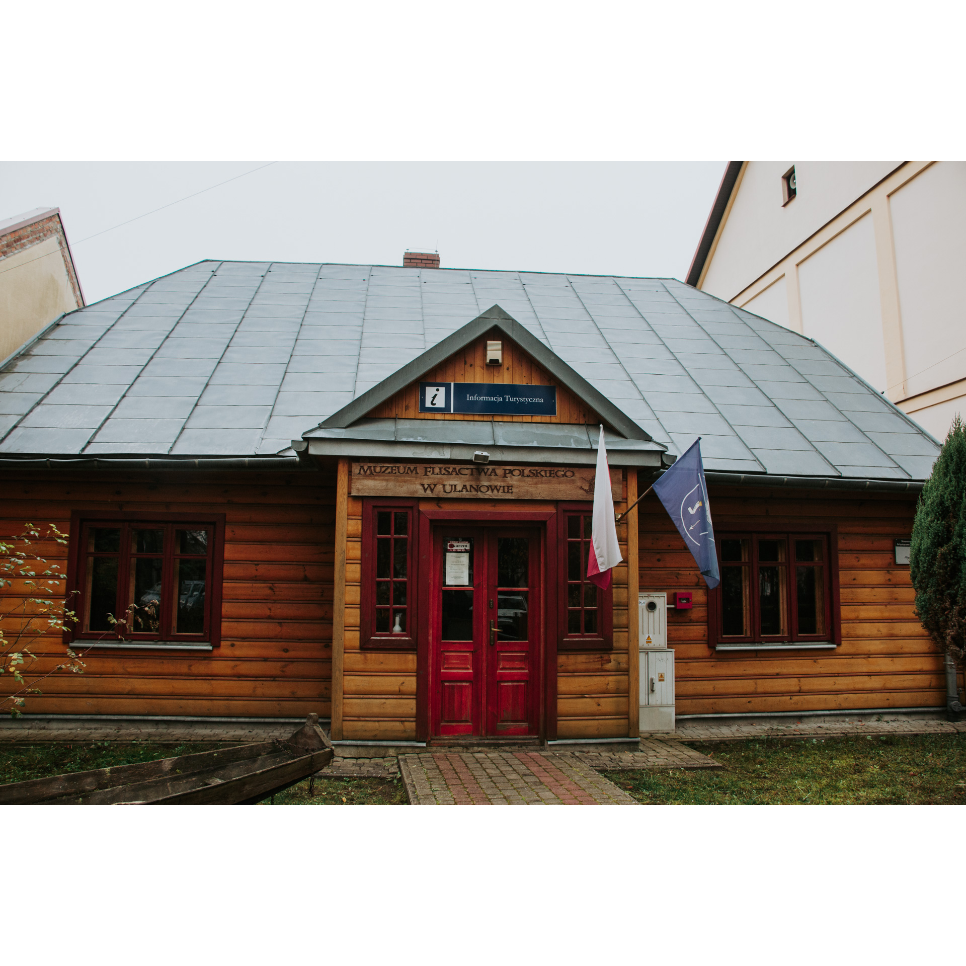
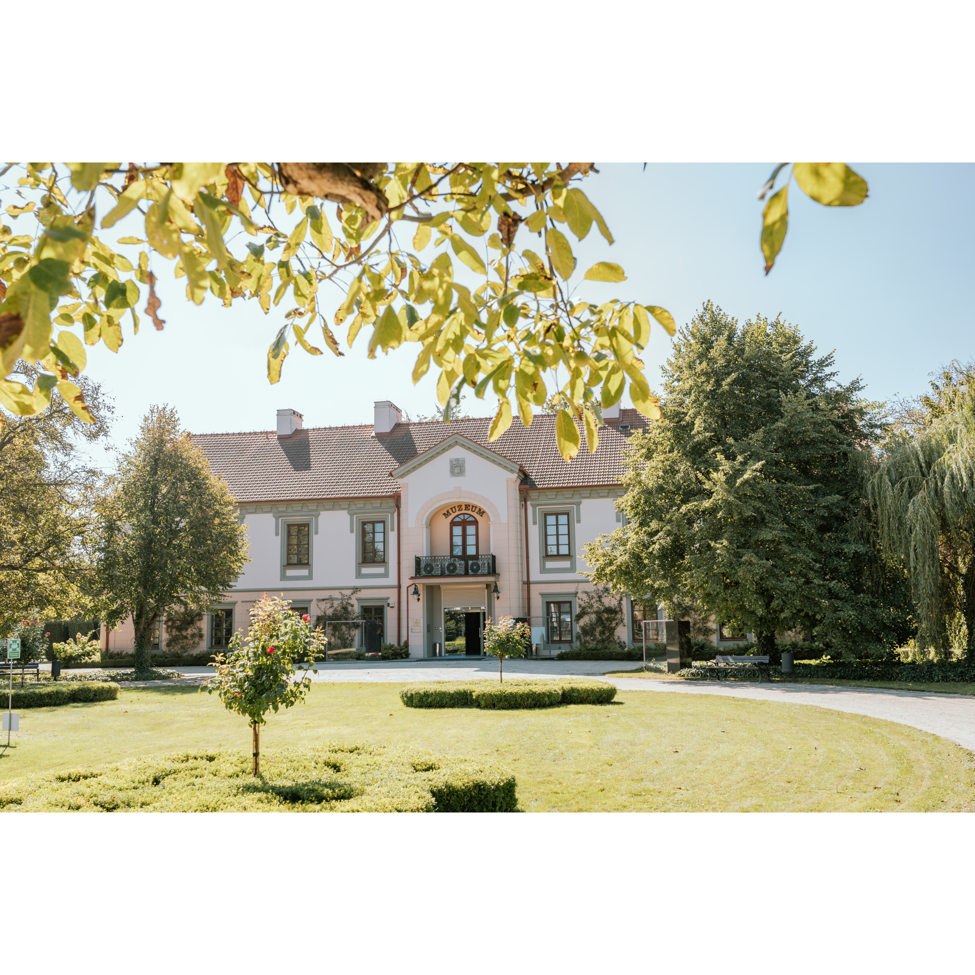
The location of Ulanów at the confluence of the San River and the Tanew River has led to many historical implications. The most significant one, which continues to impact the life of the town, is the development of timber rafting. The town's most important landmarks – the wooden church with its beautiful white and gold main altar and side altars, the Polish River Rafting Museum, and the attraction of the promontory where the two rivers meet – are all connected to the transport of timber downstream to the Vistula River and further north. The Polish River Rafting Museum is especially worth visiting as it is the only institution of its kind in Poland. The promontory itself is an attraction, offering beautiful views of the wide, over 100 m wide San River. Exit the town square onto Rynek Street and turn onto Bielinecka Street. Following this street, you will pass through Czarna Topola, a natural monument, and reach a bridge. Approximately 1.5 km past the bridge, turn right as indicated by the sign towards Nisko. You will arrive in the village of Przędzel. Drive through the village on the main road – at a certain point, the road will sharply veer to the left, so follow its course. From Przędzel, follow the sign towards Nowa Wieś. After 700 metres, at the fork in the road, take the left side, which will soon lead you over the railway tracks and under the viaduct of the S19 road. You can also veer towards the river to admire the impressive railway bridge with 5 spans, a true engineering marvel. At the intersection with a chapel on a small island, turn right. Pay attention to the terrain – it is the oxbow of the San River, which has created lakes and ponds. At the end of this road, turn left, and at the next intersection, turn right. This will lead you to regional road no. 878. Turn left onto it. Ahead of you are two roundabouts – on first, go straight, and on the second turn right towards the center of Nisko. When you reach the city park, turn left onto Głowackiego Street. Stay on this street, crossing over the railway tracks. At the end of the town, beneath the forest, you will find a cemetery with a military section from World War I, where soldiers of various nationalities, including Austrians and Czechs, are buried. Along regional road no. 872, you will drive through nearly 8 km of forest. At the intersection beyond the forest complex, turn right following the sign for Stalowa Wola. You will cross the outskirts of the Przyszów village and then delve back into the forest for another 8 km. The road is straight, and you will not get lost. To reach Stalowa Wola, you will enter near the cemetery – turn right behind it onto Ofiar Katynia Street, and after another kilometre, turn left onto Popiełuszki Street. Passing by the Police Headquarters and crossing over the railway tracks, you will reach the starting point after a few minutes. Take note of the symmetrical layout of the neighborhoods you pass through and the clarity of the city's urban design.
- 3Stalowa Wola56.9 kmStalowa Wola
Your trip ends near the starting point.
Attractions near this route
Gallery

Check other routes


