San and Vistula Valley
In the footsteps of Churches and Tserkvas in the San Valley
XML, 93.75kB
About this route
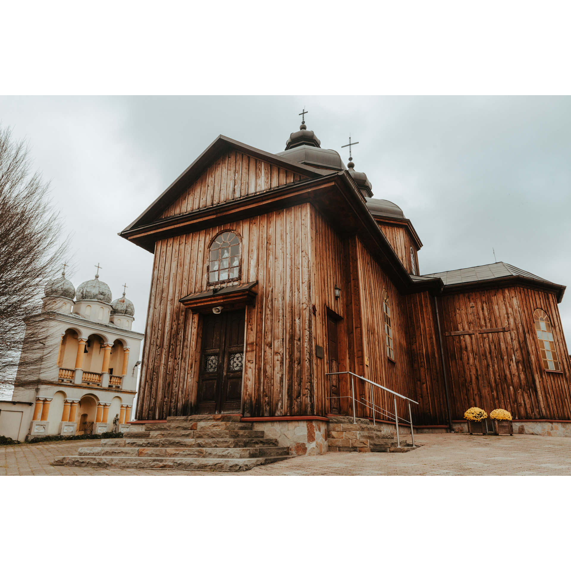
The route leads from the San Valley through the Dynów Foothills. While traversing it, you will see many examples of traditional wooden buildings. Particularly interesting are the open-air museum in Sanok and the historic buildings in Mrzygłód. The route is long, but along the way, you will find many places where you can stretch your legs and rest. You will also see many churches and tserkvas through the journey.
Practical advices
A route with a moderate level of difficulty will allow you to test your fitness. Remember that the terrain has a huge impact on how many kilometres you can cover. Trails on flat roads are less strenuous than those on hills or mountain roads.
Planning a group trip? Match the route to the fitness of the weakest participant.
A helmet and light clothing made of breathable materials will be essential for safety and comfort on the route. Other than that, only put on the essentials. Heavy luggage will make your ride more difficult. Also, think about what you will carry the necessary items in. We suggest a backpack or panniers for your bike.
Be prepared for possible breakdowns on the route. It is a good idea to carry the most important tools for a quick fix, such as inner tubes or patches, a pump or a multi-tool. Make sure you have enough water and food, as well as navigation equipment.
Is it looking like a warm and sunny day? Remember sunscreen and sunglasses. If you are planning sightseeing or other activities along the route, a bike lock will also be very useful. Before you leave, carefully examine your route for the trip. Consider whether your skills and equipment are adequate for the level of difficulty of the route.
Dolina Sanu i Wisły
Audiodeskrypcja tekstowa
Route details
Sanok - Jurowce - Grabówka - Niebocko - Dydnia - Końskie - Mrzygłód – Trepcza - SanokStart
- 1Sanok0 kmSanok
The route starts at The Museum of Folk Architecture in Sanok. It is located in the northern part of the town, on the right bank of the San. In front of the open-air museum, you will find a car park where you can leave your car.
The museum was opened in 1966. Its area covers almost 40 hectares. Thus, it is the oldest and largest open-air museum in Poland. It documents the history and cultural heritage of
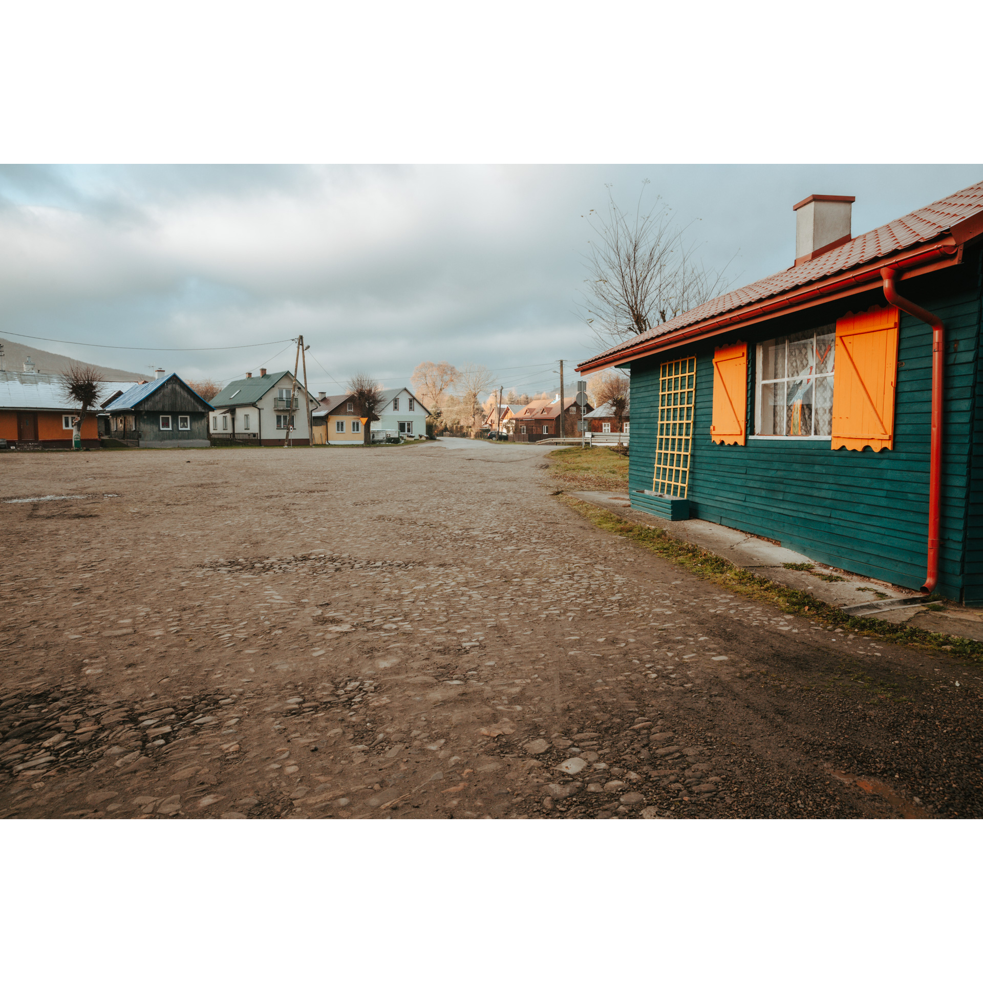
ethnographic groups that once inhabited the surrounding areas of the Karpaty Foothills and Karpaty Mountains. It contains sectors devoted to the Lemkos, Boykos, Pogórzanie and Dolinianie. Each of them resembles a small village, with its temple, residential and farm buildings. From the open-air museum, continue to Trepcza. In the beginning, cross a narrow bridge to the other bank of the San and turn right. After about 2 km of the route, at the crossroads by the cemetery, go left. This will take you to the next village on the route, Srogów Dolny. You will pass several farms there, which are traditional wooden buildings. The road leads along a slope, so on the one side you can enjoy the landscape of the valley, and on the other the view of fields climbing to the top of the hills. You will also pass several chapels, including a cottage dating from 1849, very well maintained by local believers.
- 2Jurowce7.3 kmJurowce
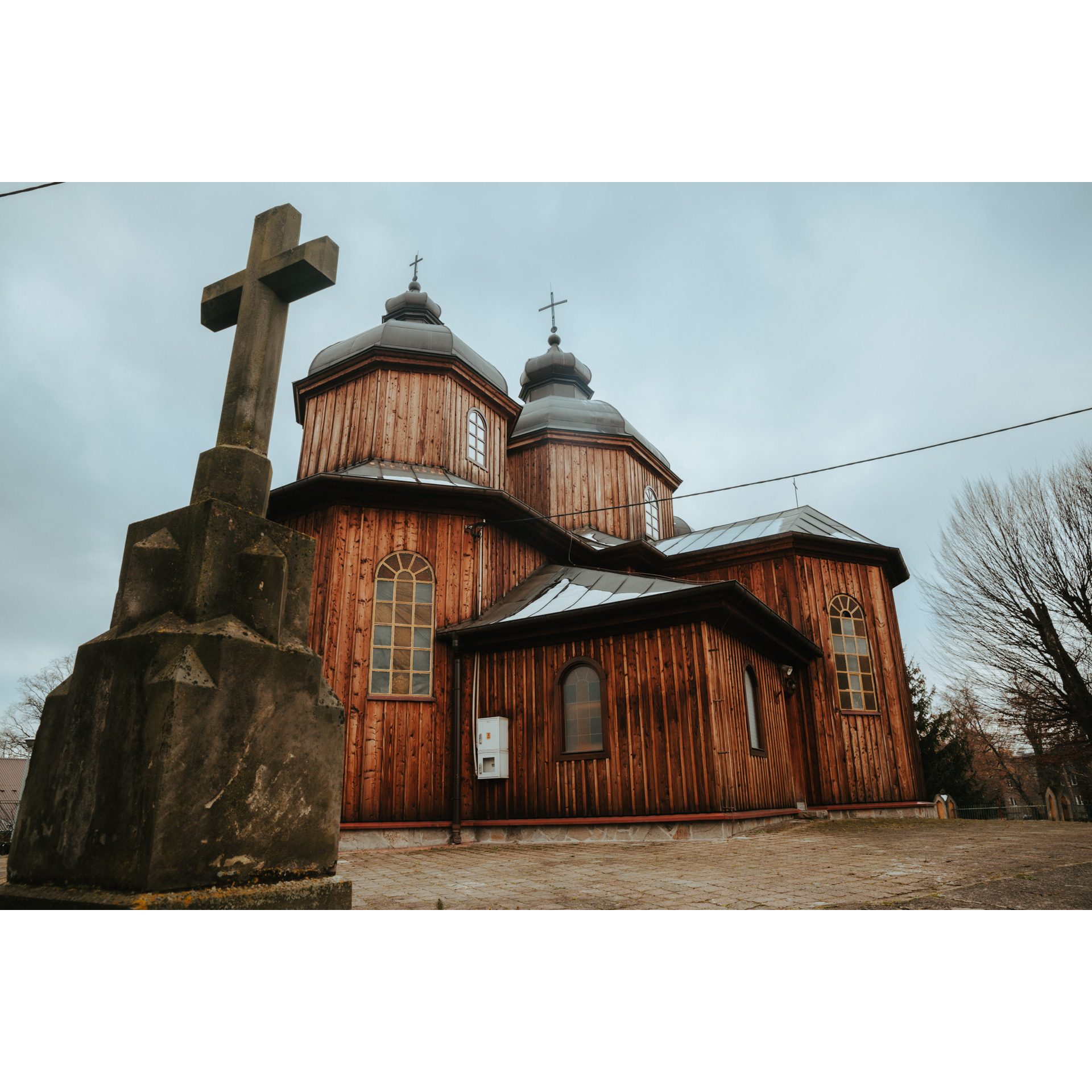
Continue straight ahead until you reach Jurowce on the regional road no. 886, where you will see the former Greek Catholic Tserkva of St George. The building was erected in 1873. The interior of the church is decorated with original polychromes. The building has undergone many renovations and changes over the years. Of the original furnishings, only the side altar has survived. Next to the church is a brick bell tower. Today, the church serves the Roman Catholic parish of St Peter and St Paul. There is also a manor-park complex in this village. You need to return along the same road to the crossroads, which is 500 m away. Taking the main road, head towards Srogów Górny. At a distance of 1.5 km, you will find Falejówka. Drive through the village, noting the monuments of small sacred architecture. You will pass a massive Neo-Gothic church and oak trees planted in memory of the fallen and murdered. There is also a historic manor house and manor park along the road. Behind the school, turn left; you will face a rather demanding ascent up the slope of the Grabówki range.
- 3Grabówka14.8 kmGrabówka
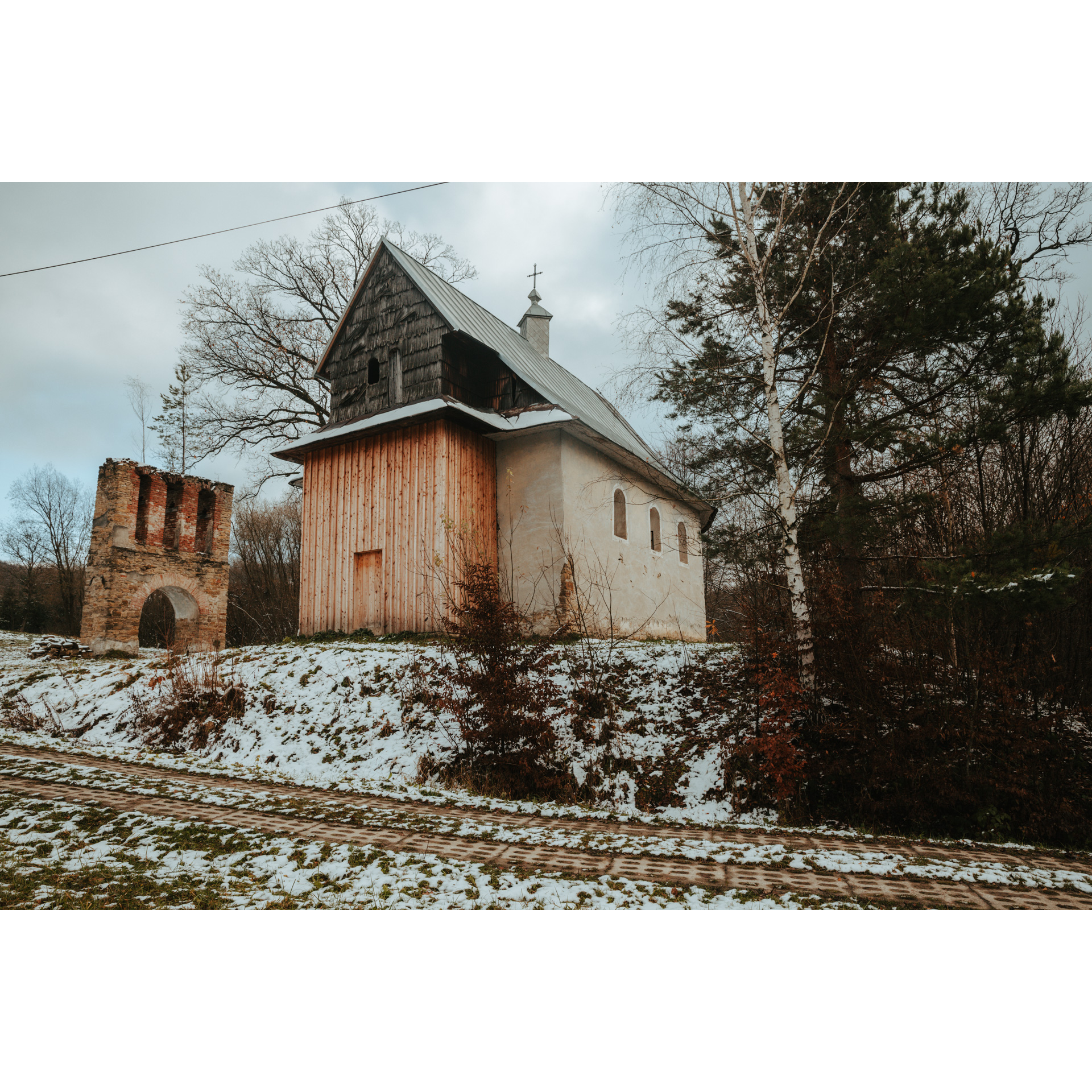
After a 2.5 km drive through a hill overgrown with forest and farmland, you will reach the buildings of the village of Grabówka. It is worth stopping by the Greek Catholic Tserkva of St Nicholas, which has graced the landscape of this village since the 19th century. It was renovated in 2021. Next to the church are the ruins of a stone bell tower. Further on, you will pass the church and the remains of a burned temple. At the primary school turn right and pass the fire station. The trail continues through the countryside in the valley. There are some truly beautiful views from the road!
- 4Niebocko19.8 kmNiebocko
At the stadium in Niebocko, turn right onto regional road no. 835. Follow this road for the next section, which leads to Jabłonka, a village with picturesque views. Also, it is worth finding the wooden Podhale-style church there. It looks older, although it is only less than 100 years old. Interestingly, in its interior is a now non-existent rood beam with a passion group, separating the nave from the presbytery. To visit the manor-park complex, you need to turn left off the main road by 600 m; the monument is located just behind the primary school.
- 5Dydnia25.5 kmDydnia
The next town on your route is Dydnia, a large village with rich traditions. It is home not only to the Neo-Gothic Church of St Michael the Archangel and St Anne, and to a wooden vicarage, but also to the monument to the victims of the 1937 peasant strike in which three farmers were killed. You will pass each of these landmarks along the way. Turn off regional road no. 835 at its curve behind the bus stop, heading for Krzywe, following the signpost. In the village of Krzywe, attention is drawn to the former wooden Tserkva of the Assumption of the Blessed Virgin Mary. Here you will also find a regional chamber. Ascend the hill, from where there is an extensive view of the Dynów Foothills and Przemyśl Foothills. Then, take a rapid descent to reach Końskie.
- 6Końskie34.4 kmKońskie
Another village on the route is where you will come across a former wooden tserkva. The temple in Końskie is dedicated to the Holy Transfiguration of the Lord. It is a former mass chapel and manor-park complex. To see it, you need to turn right off the main road. Go back to the small, disused Church of St Andrew Bobola, built in the characteristic half-timbered technique, and head southeast, just as you were going before. On the way to Mrzygłód, there is another section of the route with nice views, leading through the hills and the village of Zagródki. Turn right at the end of the road.
- 7Mrzygłód40.5 kmMrzygłód
In Mrzygłód you can stop at the market square with its wooden buildings. Although small, it hides a lot of medieval history. This is particularly evident in its urban layout and wooden buildings. Also worth a visit is the brick Gothic Church of the Dissension of the Apostles from the early 15th century, located near the market square. Leave the village to the southwest, following the road along the San River.
- 8Trepcza51.3 kmTrepcza
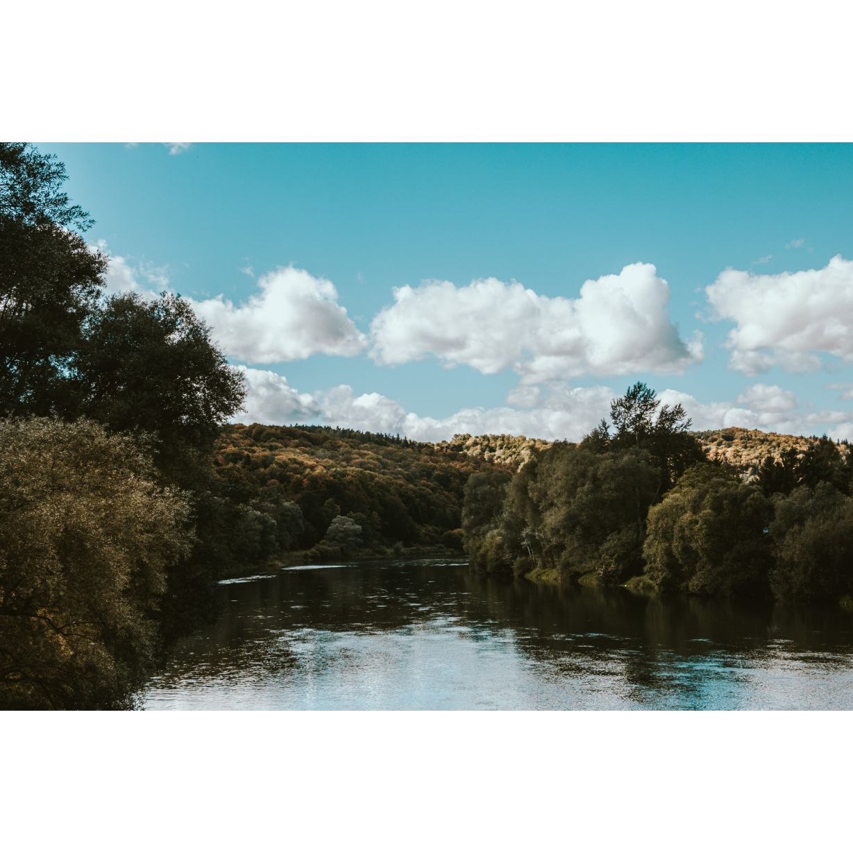
The route leads through the picturesque valley of the river. Drive along the gorges of the San, which divides the Dynów Foothills and the Sanok-Tura Mountains. You will pass the monument and several chapels. Follow the San meander to Trepcza. In Trepcza, you will pass the former Tserkva of the Dormition of the Blessed Virgin Mary. The place from which you are looking at the tserkva, there was a Jewish labour camp until 1942. In the forest on the hill on the right side of the road, you can find two fortified settlements. You will reach Sanok via the road you were on at the beginning of the trip.
- 9Sanok53.5 kmSanok
The route is a loop, therefore you return to where you started from.
Attractions near this route
Gallery
Check other routes


