The Low Beskid
Hills and passes south of Baligród
XML, 197.20kB
About this route
A demanding route leading through valleys, hills, and mountain passes of the Bieszczady to the south of Baligród. This is a sightseeing journey during which you will test your strength, endurance, and orientation in the terrain, as well as a journey through great history, recorded in monuments and cemeteries.
Practical advices
When preparing for a route, be sure to check the weather forecast. This will allow you to take appropriate clothing and limit your luggage as much as possible. However, it is well known that the weather can be unpredictable, so be prepared if it gets worse. It is good practice to pack a thin rain jacket that does not take up much space.
Before starting the route, carefully analyse it on a map. Consider whether your skills and equipment are adequate for the level of difficulty of the route.
Download the accompanying .gpx file so that you always have your navigation at hand. To make sure your device doesn't fail you, also bring a power bank, charger or spare batteries. If the weather changes, you may find it useful to have a waterproof case for your electronic equipment.
Be sure to take drinks and food with you on long journeys; you never know when you will get hungry. Remember that a shop or restaurant may be located a long way away. We recommend that you stock up on water, isotonic drinks, energy bars and snacks. This will make sure you don't lose the motivation to continue riding.
The absolute basis for safety is, of course, a helmet. Also, prepare yourself technically. Make sure you have adequate lighting on your bike. Pack a repair kit. Spare inner tubes, a pump, a multitool, all of these things can come in handy in the event of a breakdown, which of course you don't want!
Beskid Niski
Audiodeskrypcja tekstowa
Route details
Baligród – Przełęcz Żebrak – Cisna – BaligródStart
- 1Żernica Wyżna0 kmStart w Żernicy Wyżnej – cerkiew Św. Bazylego, lądowisko, możliwość podziwiania szybowców, szutrowa droga do Bereżnicy Wyżnej.
- 2Baligród20 kmTrudny podjazd przez Wólę Górzańską, brody rzeczne, a po nim długi zjazd do Baligrodu – największej miejscowości na trasie, z możliwością uzupełnienia zapasów.
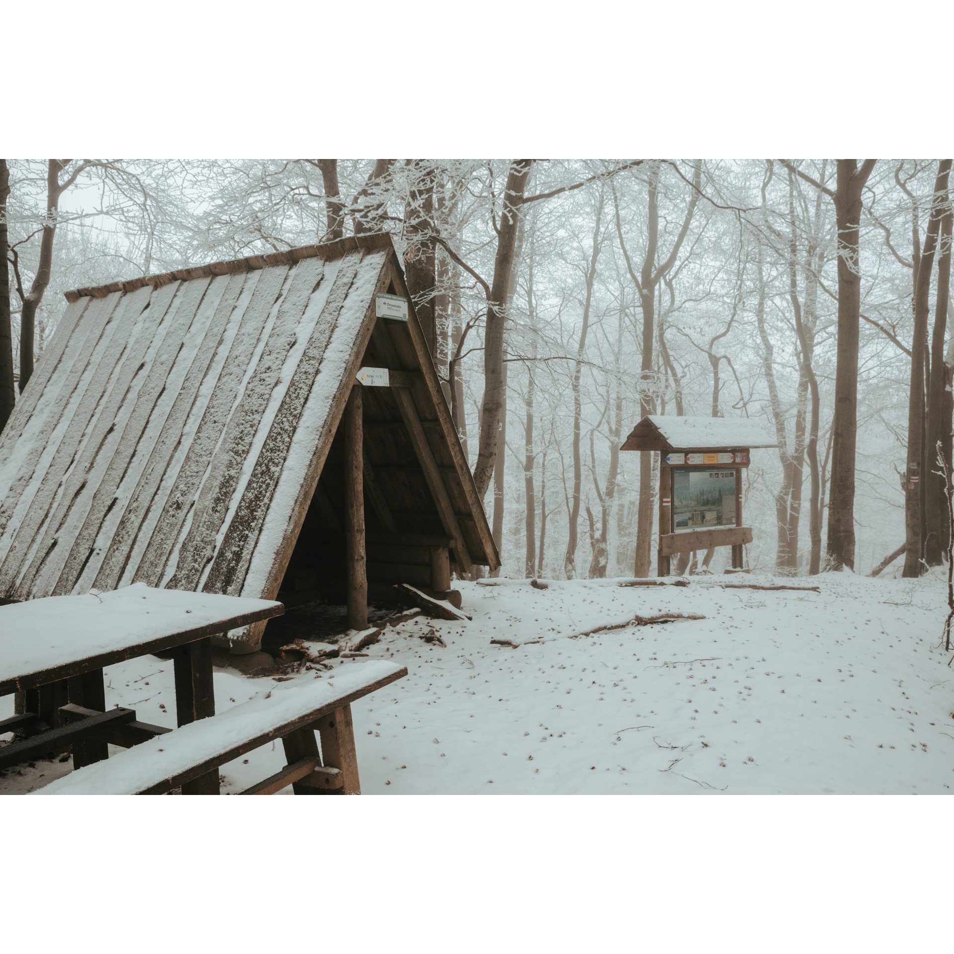
- 3Huczwice29 kmJeziorko Bobrowe – długi podjazd przez las, pieszy szlak na Chryszczatą, miejsce na odpoczynek i ognisko.
- 4Kielczawa37 kmPodjazd przez granicę powiatów sanockiego i leskiego, zjazd do Mchawy, kapliczki i cerkwisko w Kielczawie.
- 5Żernica Wyżna50 kmDelikatny podjazd do Żernicy Niżnej, piękne łąki i akweny wodne, wspaniałe widoki latem.
Attractions near this route
Gallery
Check other routes


